http://www.peakbagger.com/climber/ascent.aspx?aid=935179
4375′ elevation – clean prominence: 2333′ – isolation: 31.3 mi
GPS log available at peakbagger link above.
Time-lapse video of drive off pavement
No radio sites, just a nice, challenging, quiet hike on a somewhat cool and breezy day.
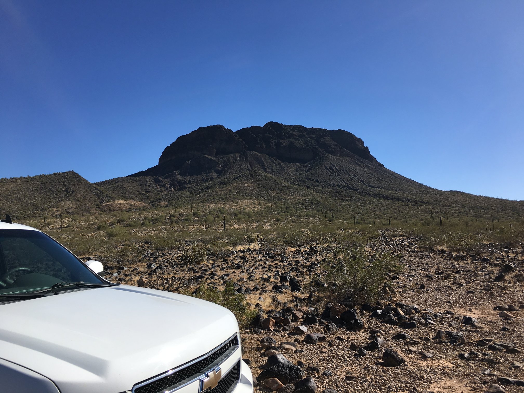
Looking up at Woolsey from the northside trailhead.
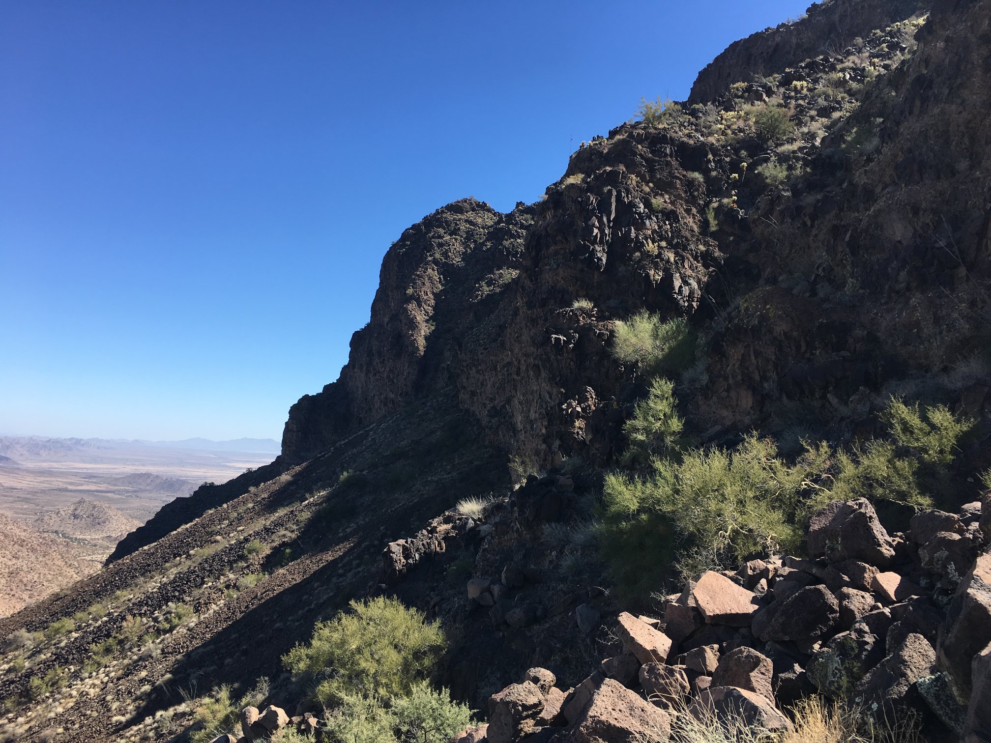
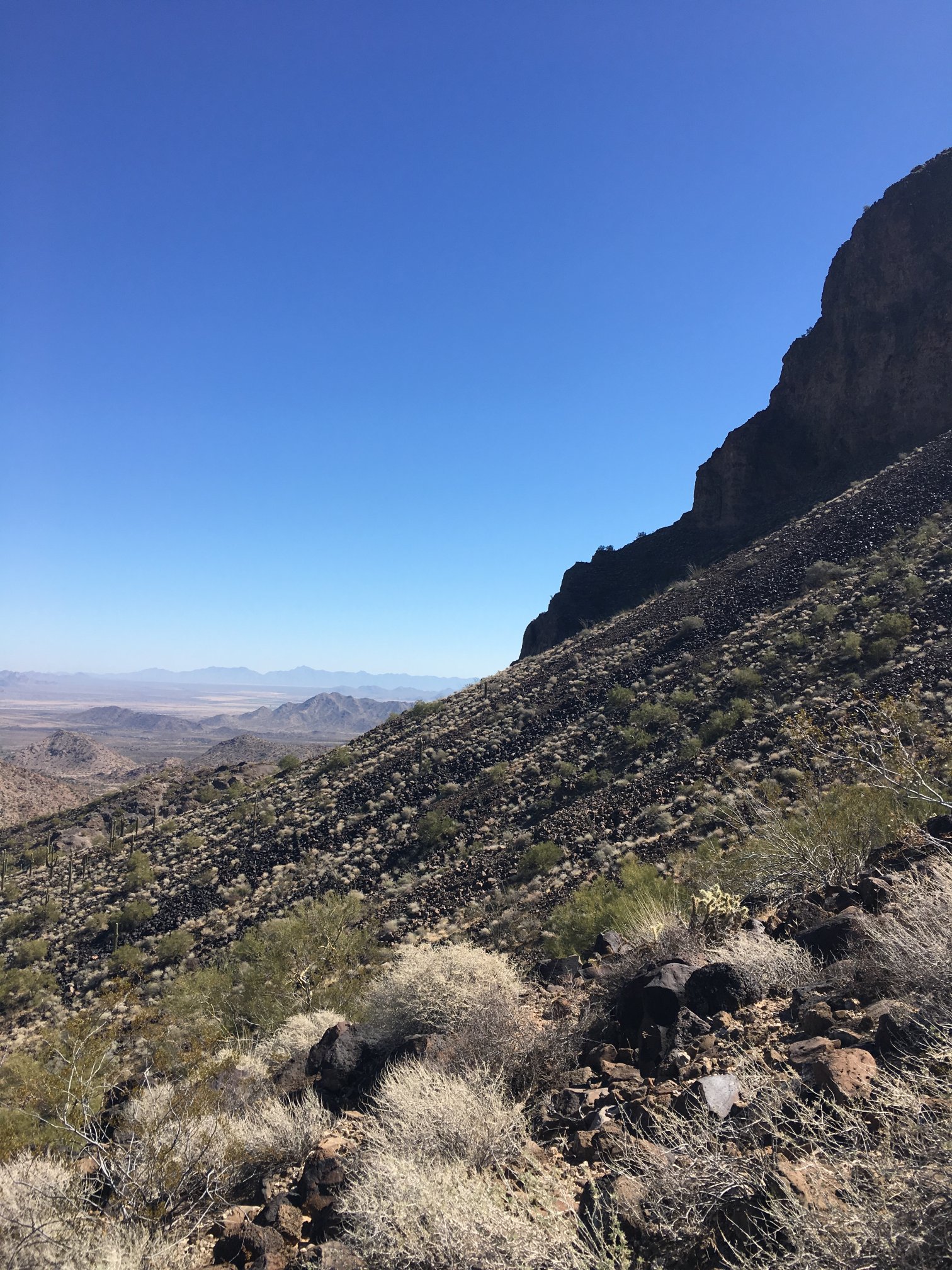
There are sheer cliffs and difficult escarpments everywhere.
The way up is to pick the right river of lava boulders and other detritus.
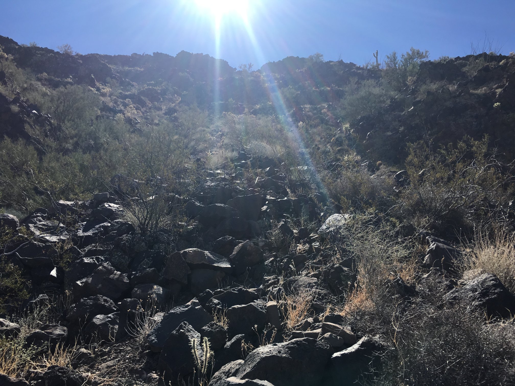
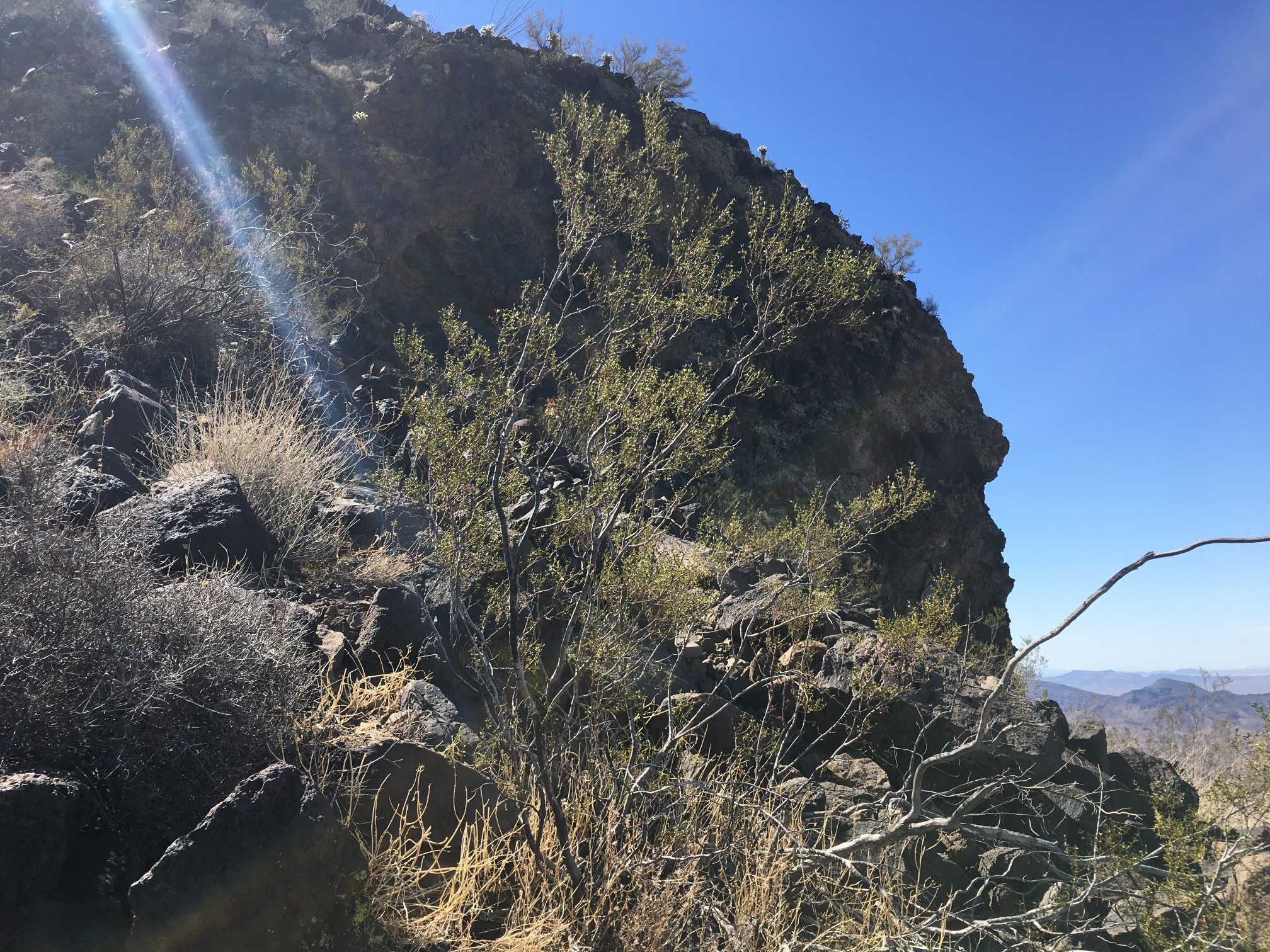
However, it’s not easy a priori to know the best route. Boulders can be loose, and i stepped on one, it rolled, and I crash-landed.
Lava-rock-boulder rivers near or at angle of repose. While a 2′ size boulder appears to weigh a lot, putting one’s weight into it for purchase can cause it to shift or break loose.
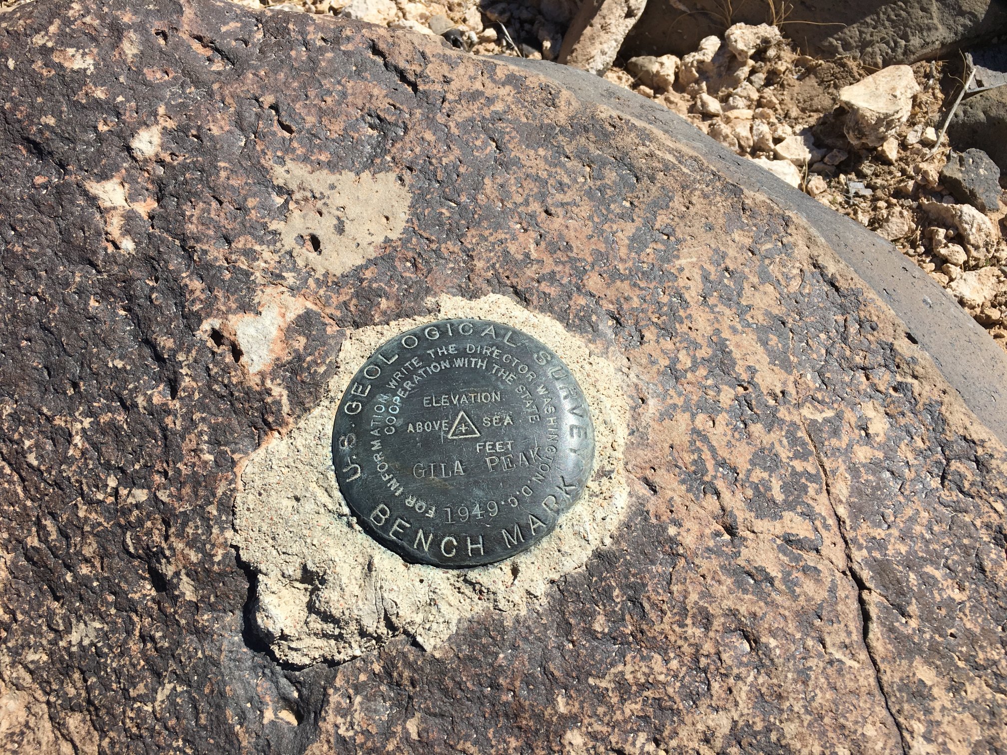
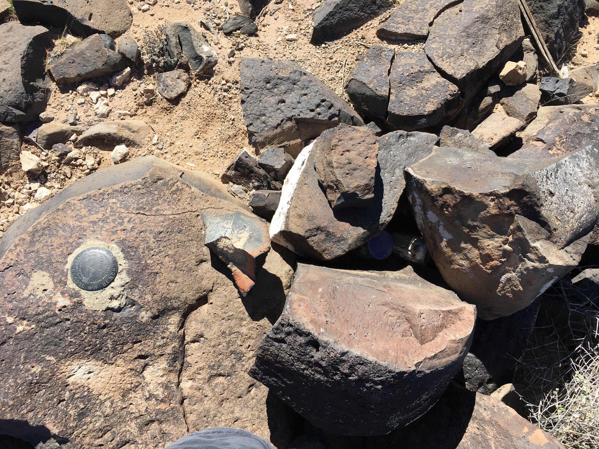
This is the true Gila Peak (Woolsey Peak) benchmark.
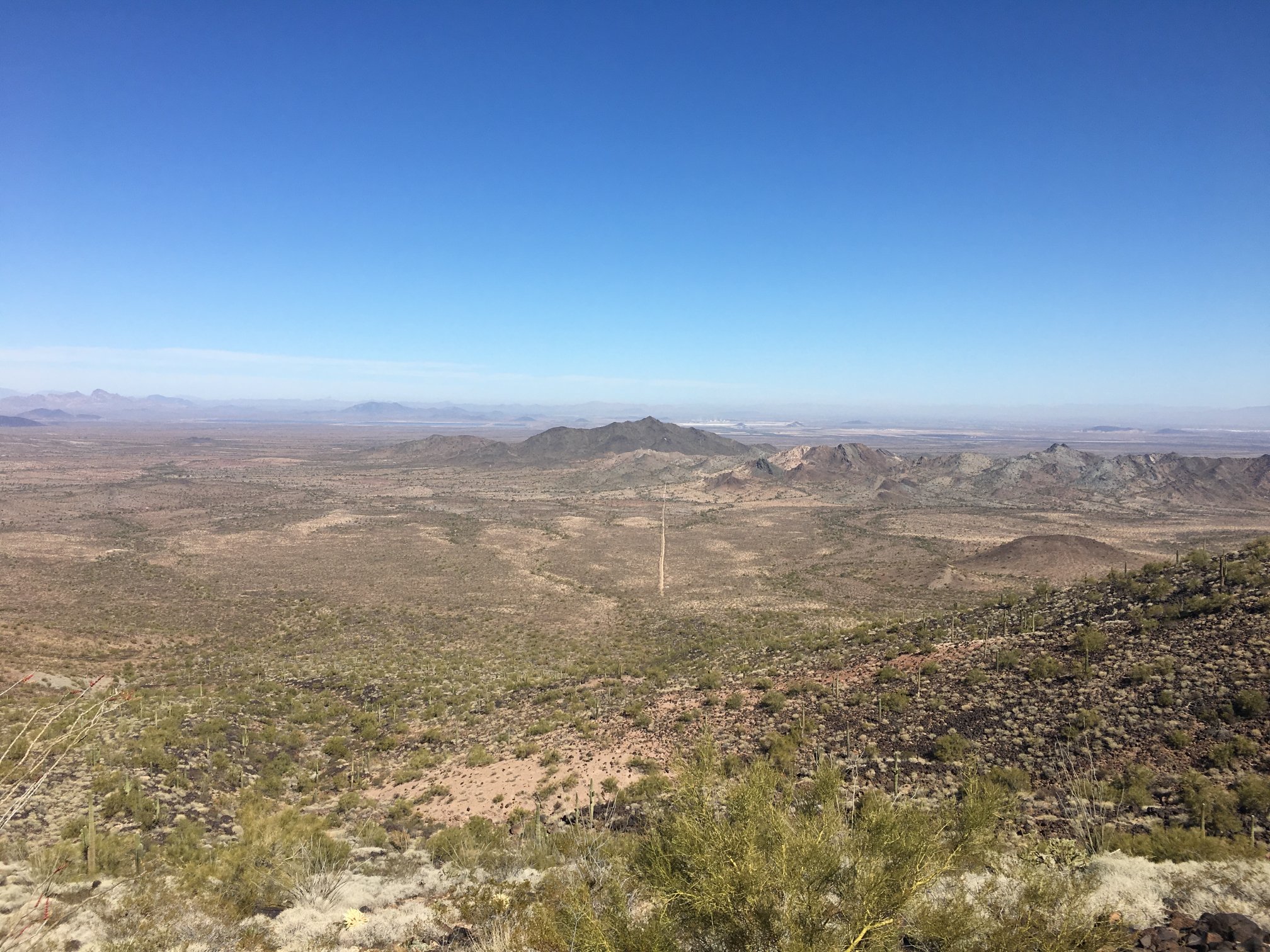
From the top of the mountain looking due north. The vertical beige strip is the final section of the dirt road with the trailhead at the bottom (south) end. The rivers of lava rock are punctuated with bunch grass.
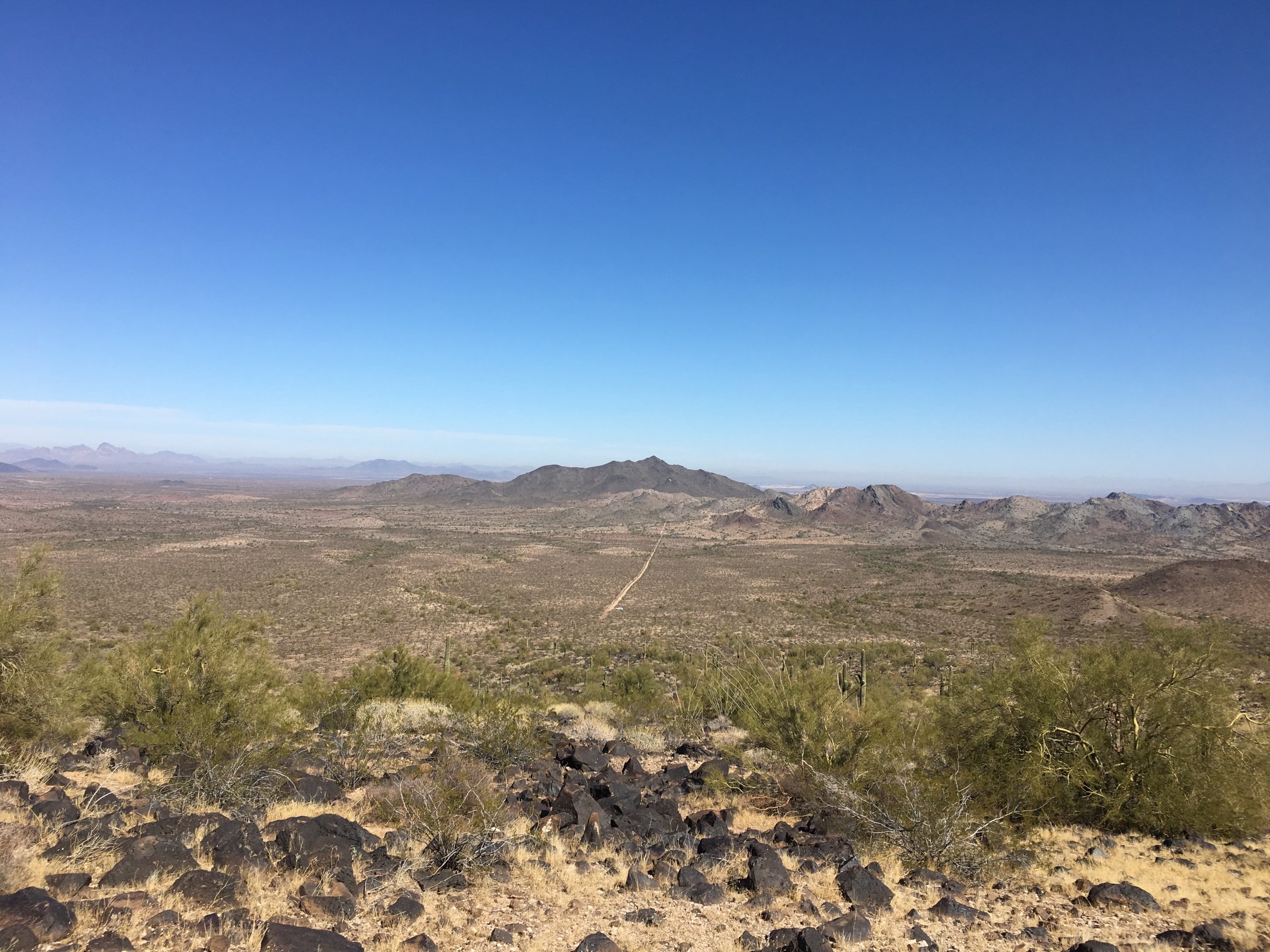
Another view north.
From the false peak.
Looking to the west from the benchmark.
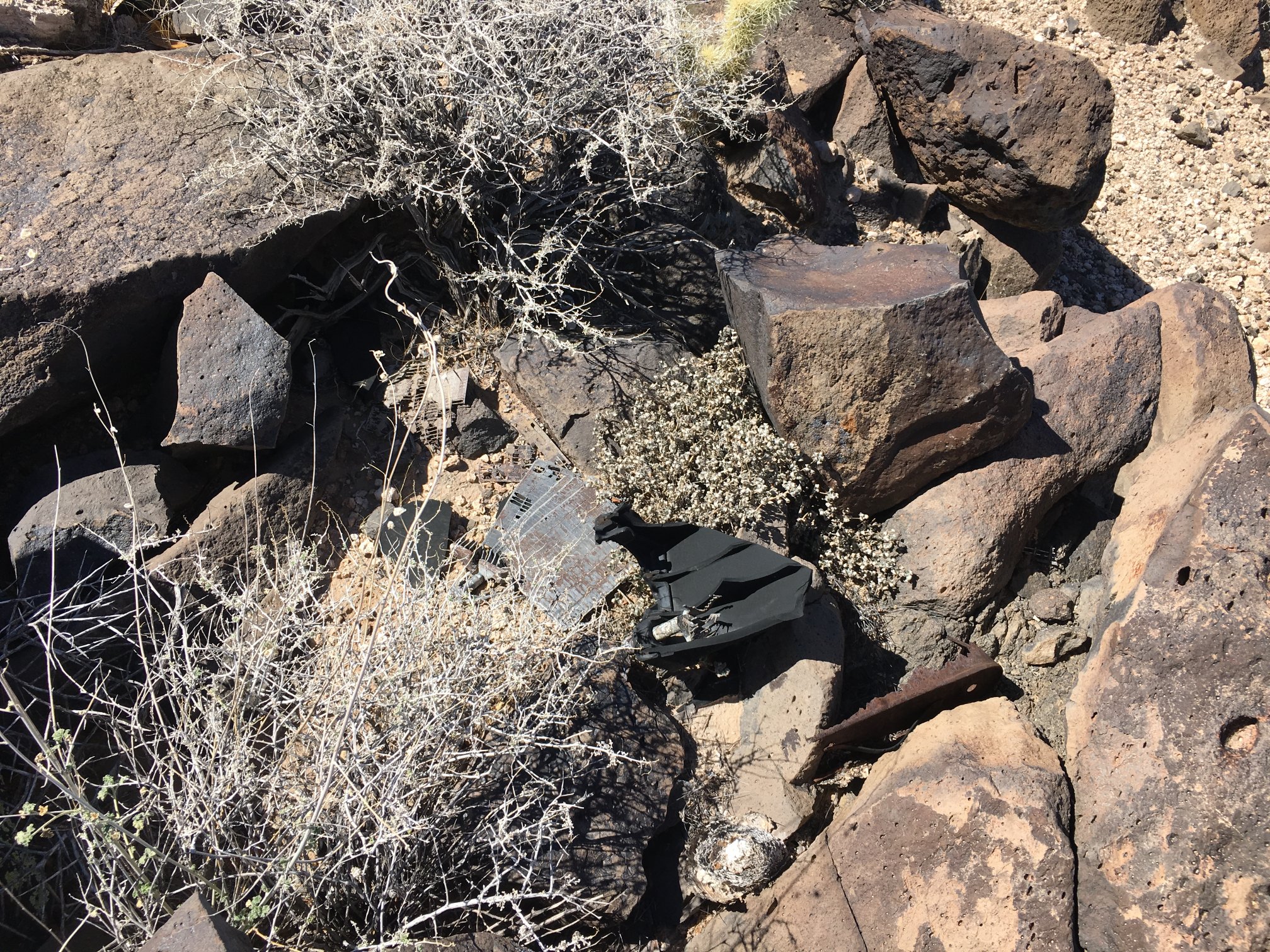
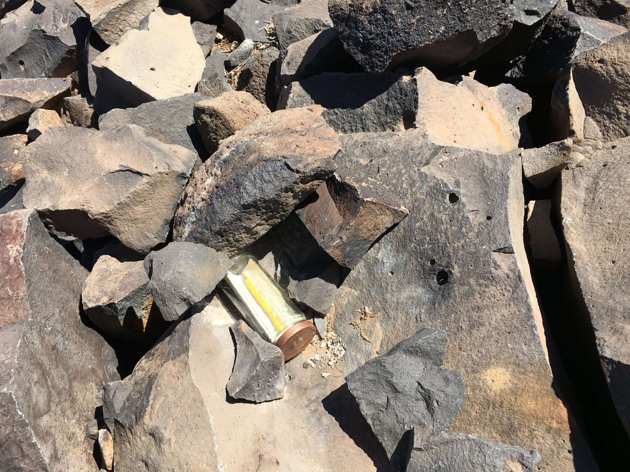
Somebody disposed of a lead-acid car battery here a long time ago. What it was powering up here on the summit is a mystery.

From that battery, bits of lead plate everywhere.
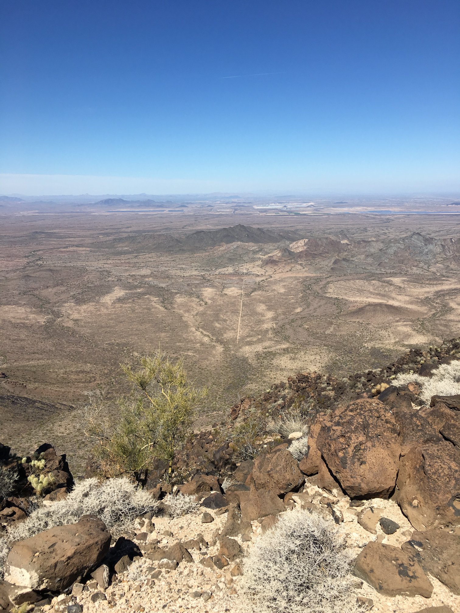
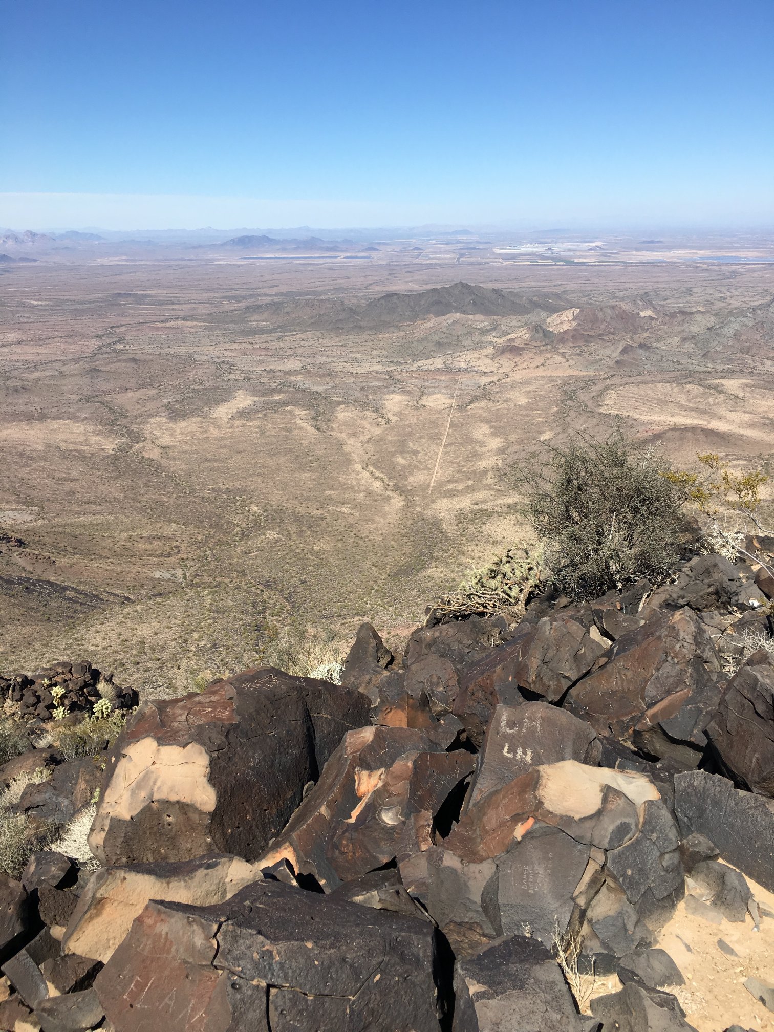
Another view to the north. The trailhead is at the close end of the road below. The nice thing is one can see the trailhead and their vehicle pretty much all the time during the hike. Of course, if something bad happens down at the trailhead, there’s not much one can do from this vantage other than watch, unless one has a very powerful rifle %^)
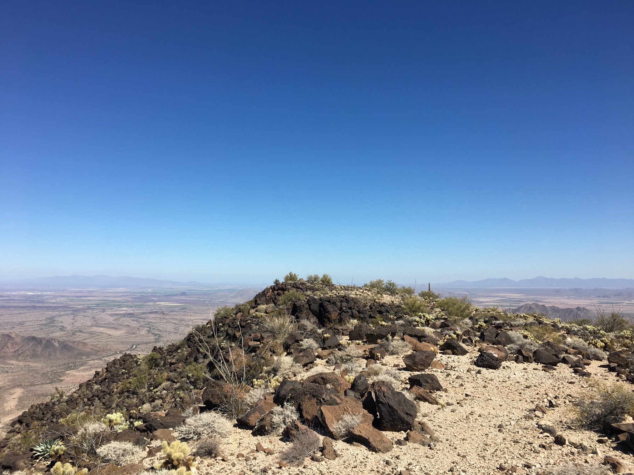
View to the east from the benchmark; White Tank to the left and the Sierra Estrella to the right.
Looking SW from the benchmark.

Some kind of spiritual thingee, maybe for Pastafarian get-togethers?
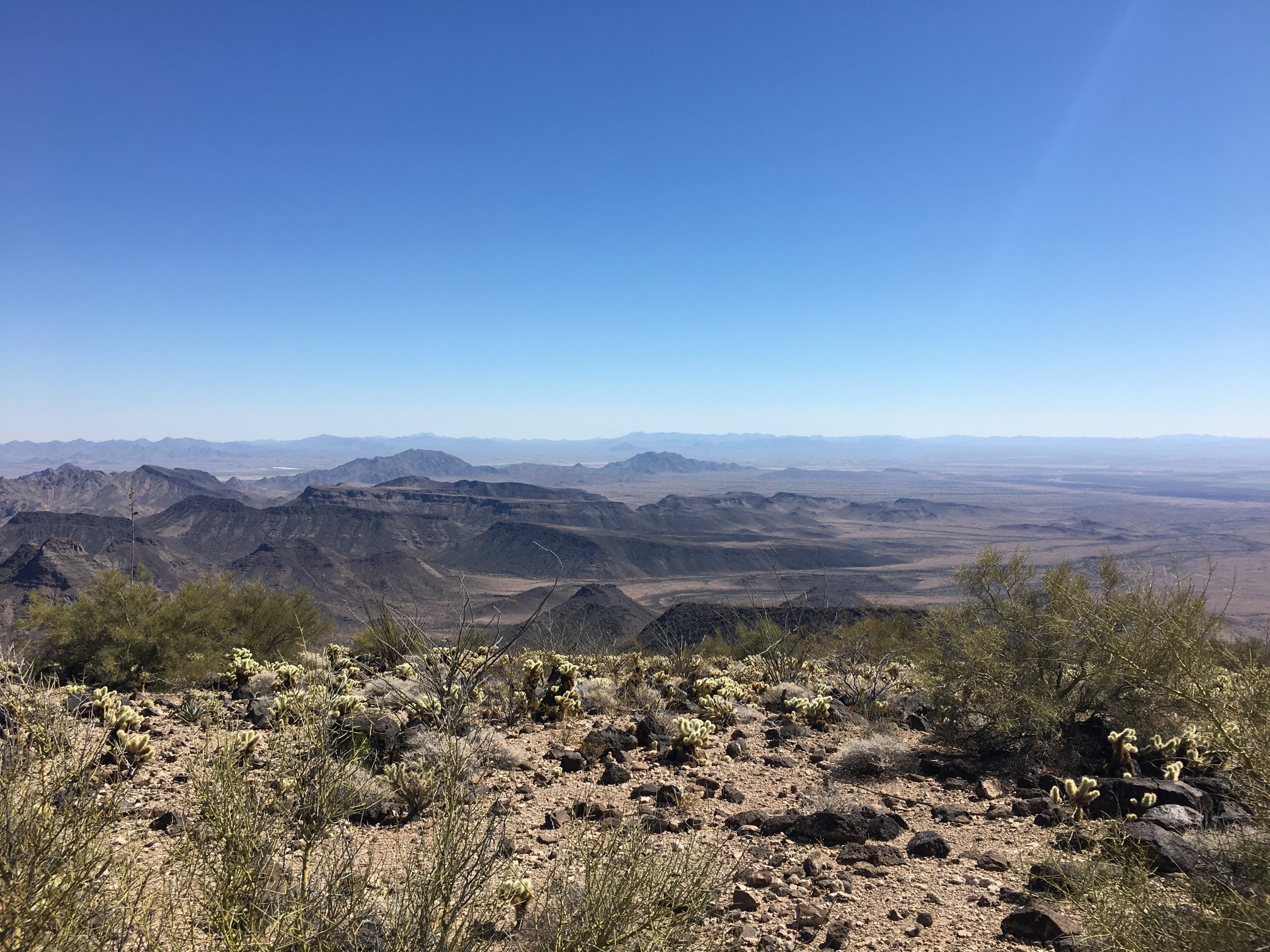
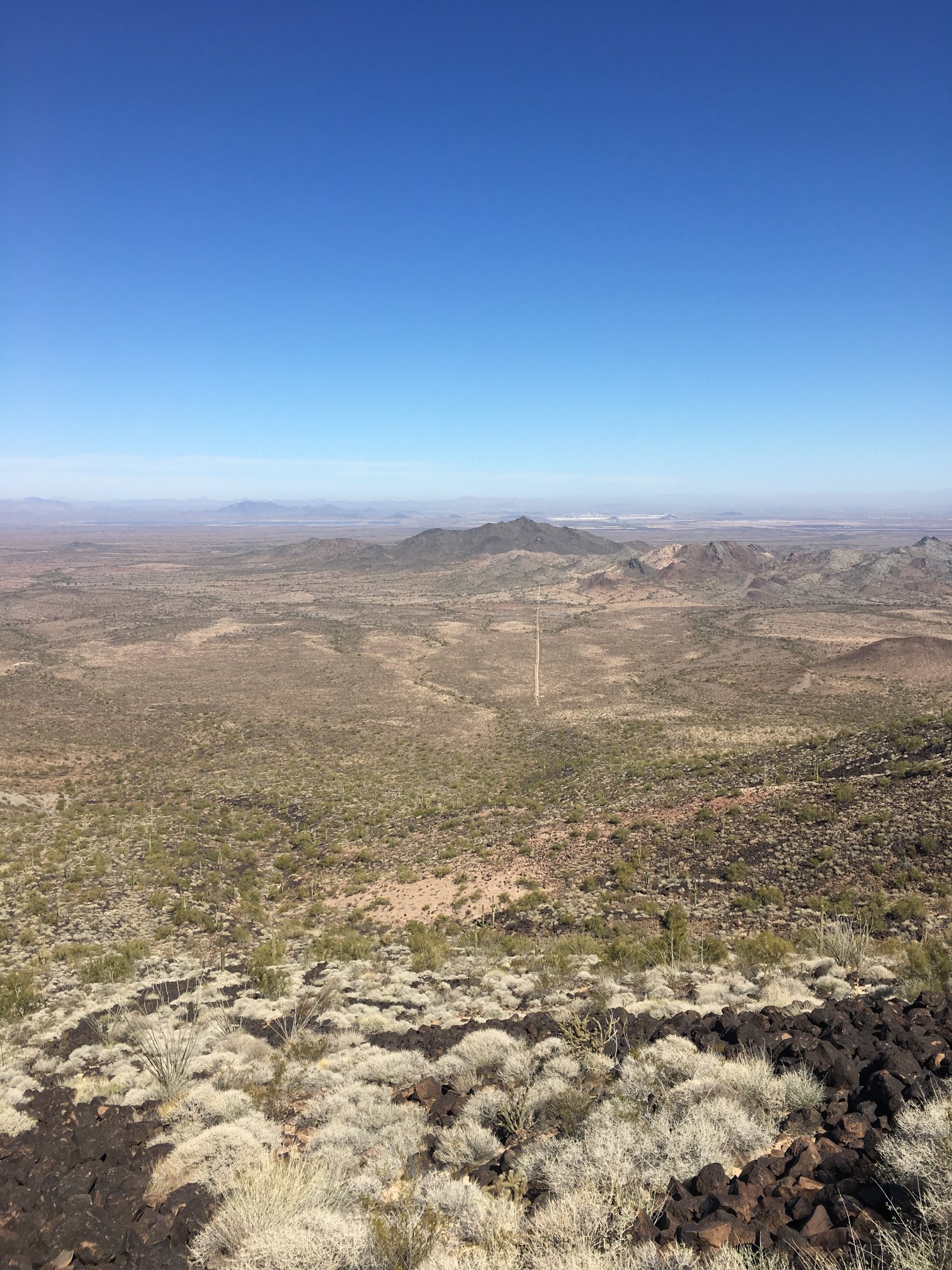
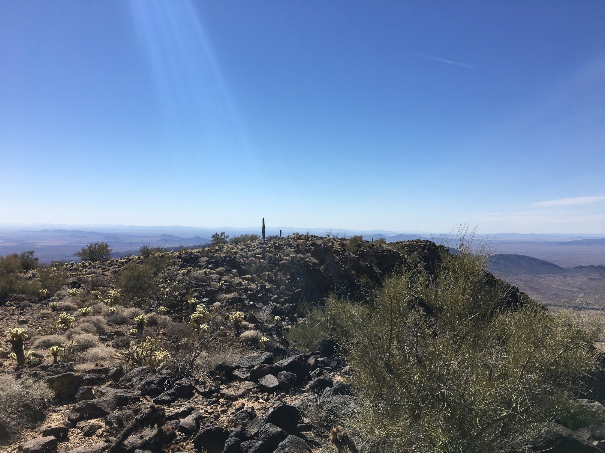
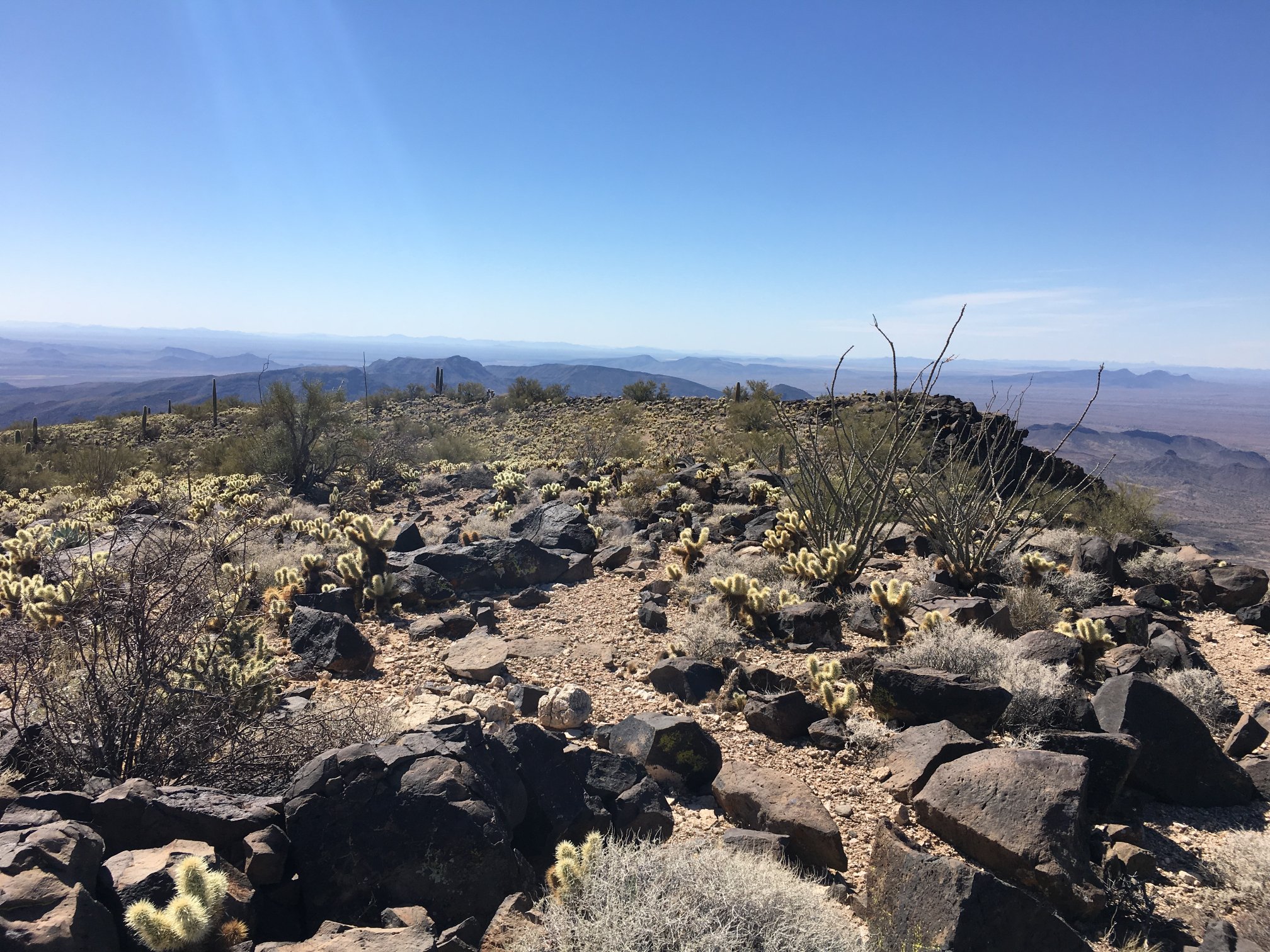
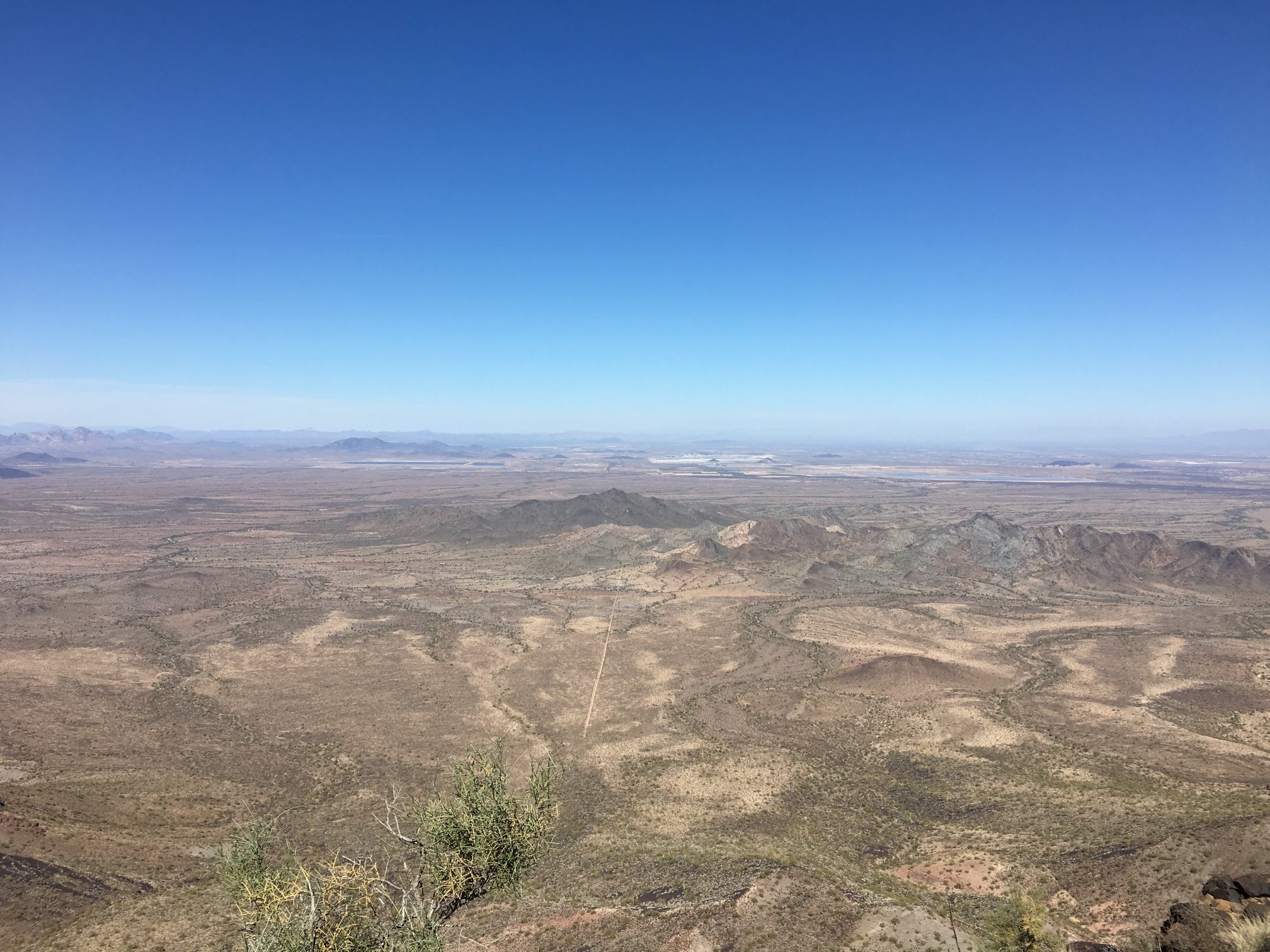
Looking to the SE over many lava-flow ridges. Table Top is on the horizon to the left of center.
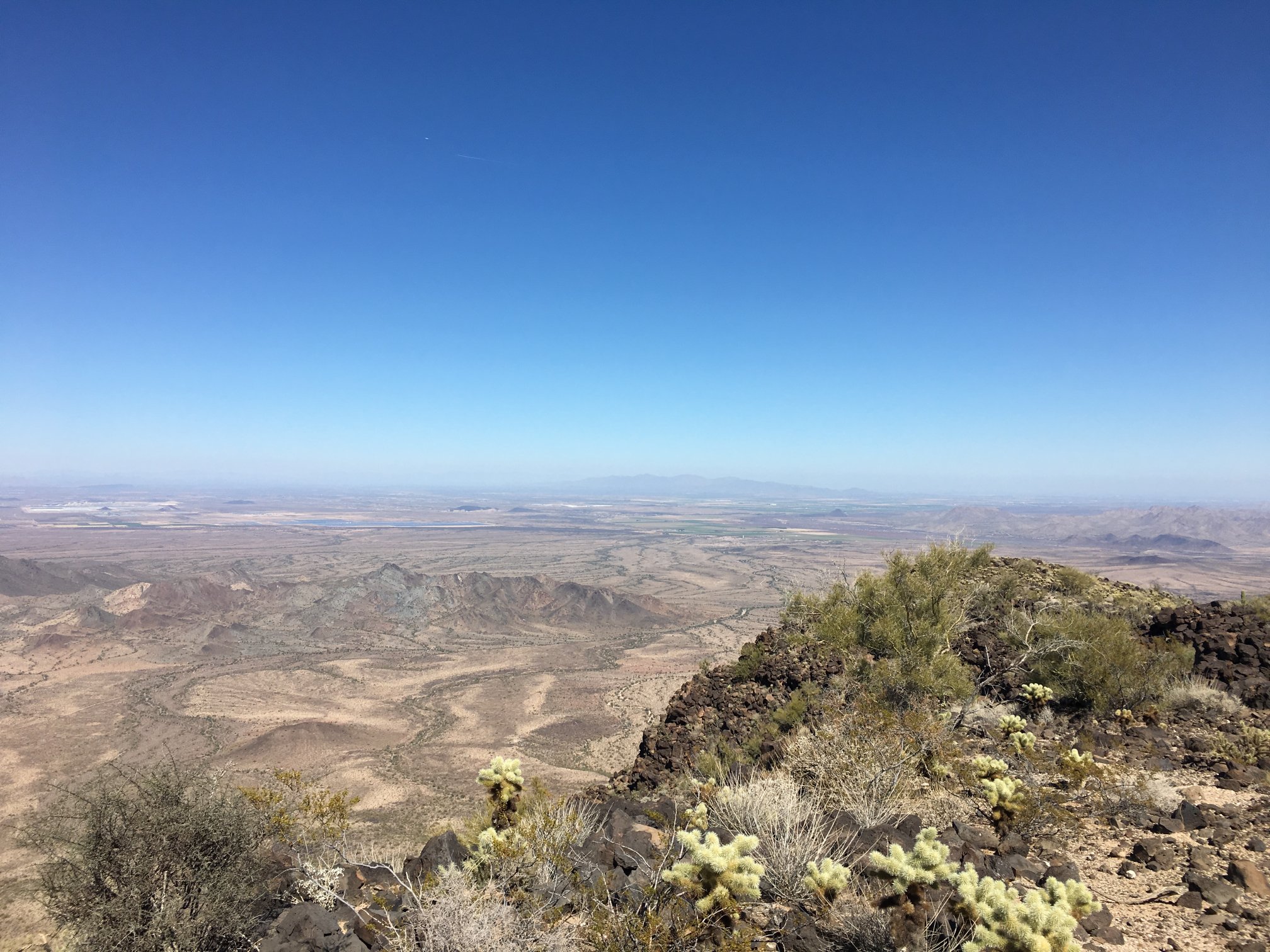
The White Tank mountains are way off in the distance.

The back side of the Sierra Estrella range; the characteristic shape of Sierra Estrella high point is quite distinctive.
One of the BM locations, desert varnish and graffiti.
One of the peak registers.
Time to return to the truck. It always seems to me to be harder the do the return than the ascent; here, it was mostly boulder-hopping down the slope, keeping aim on distant horizon features to maintain the right azimuth, and paying attention to the next step to avoid boulders likely to move or the possibility of critters, none of which were seen on this trip.
While one vehicle had arrived at the trailhead, turned around, and then left during my hike, there were no other signs of folks having been here during my time.
The drive back out to old US 80 was uneventful. Stopped by 8-Bit Ale Works on the way back for a pint.