http://www.peakbagger.com/climber/ascent.aspx?aid=954536
7840-7880′ elevation – clean prominence: 2900′ – isolation: 25.7 mi
GPS log available at peakbagger link above.
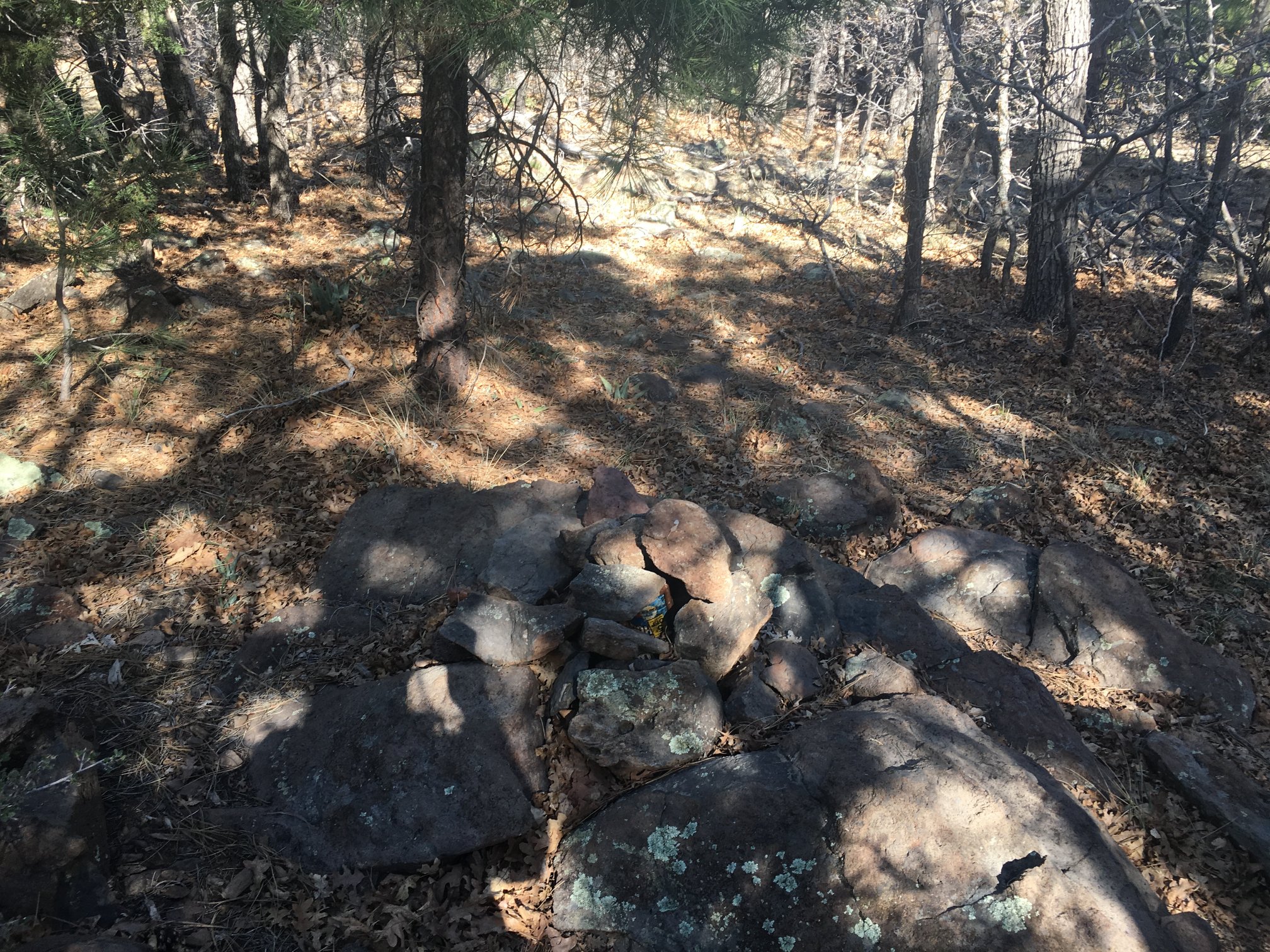
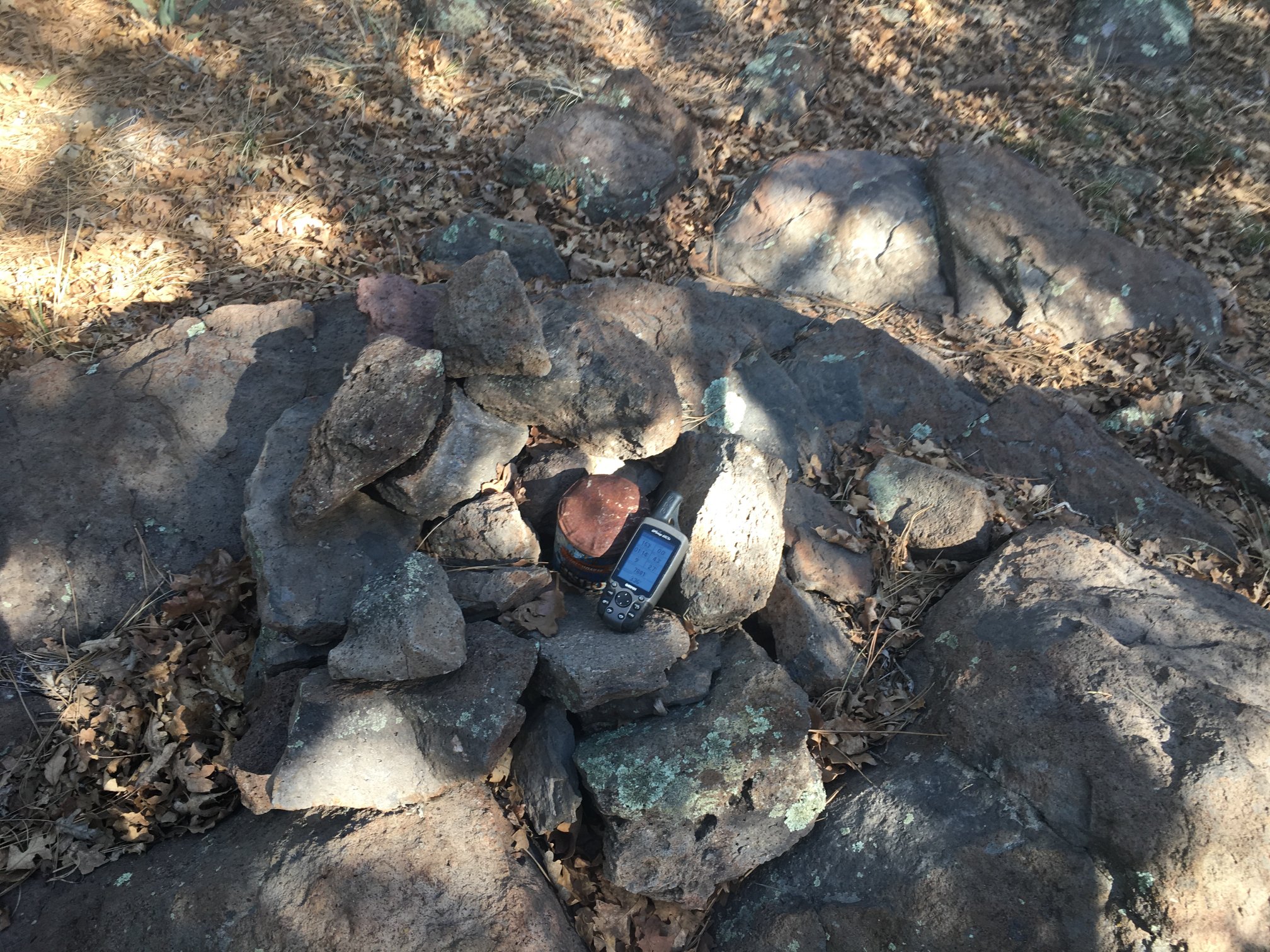
Woodchute (I keep thinking woodchuck, as in “how much wood could a woodchuck chuck if a woodchuck could chuck wood”) is more of a hummock than a peak; it’s forested with pine and there’s no obvious summit. And when you’re there, it’s hard to tell. As I was wandering around the overgrown forest, GPS in hand, looking for a high reading, I found a very mature tree which had apparently been struck by lightning at one time. This made me think I was at the summit, and subsequently I did find a cairn with glass-jar-enclosed peak register.
The trailhead is an easy access dirt road off the end of the paved forest road that leads northwest from SR-89A at its saddle atop the Black Hills. Less than 0.3 miles in, there’s a left turn and a paved leading to dirt road to the “Woodchute Trailhead”, complete with toilet. But wait! There’s more! If the gate is open, continue on the dirt road that heads kind of northwest from the so-called trailhead. At least when I drove it, it was nearly a freeway in fine condition for any kind of vehicle. About a 3 minute drive later, there’s another trailhead for Woodchute. Park here to start your adventure.
After the trail register stop (in the rectangle just left of center), pass through the step-over latched-shut gate (the rectangle to the far left of center; latch it closed after you pass). 
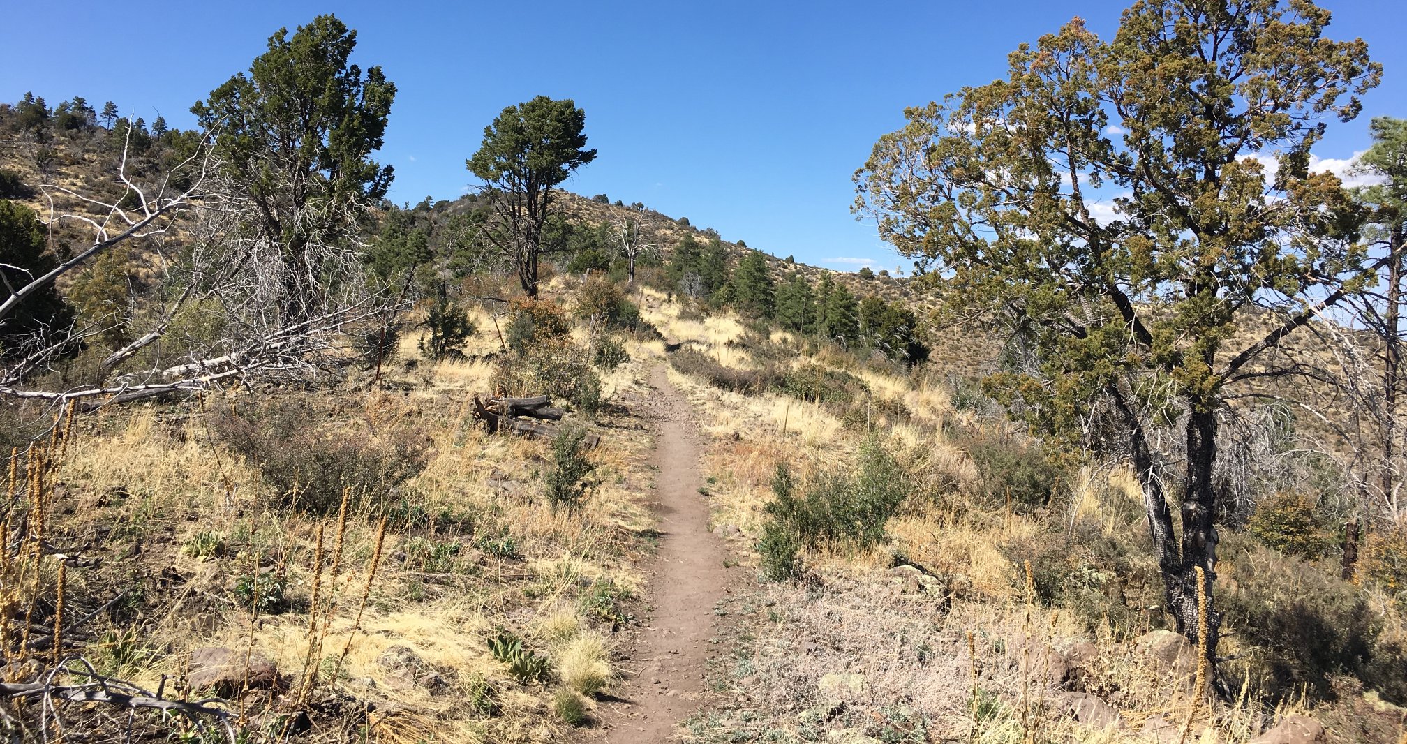
The trail is well used and obvious in this portion.
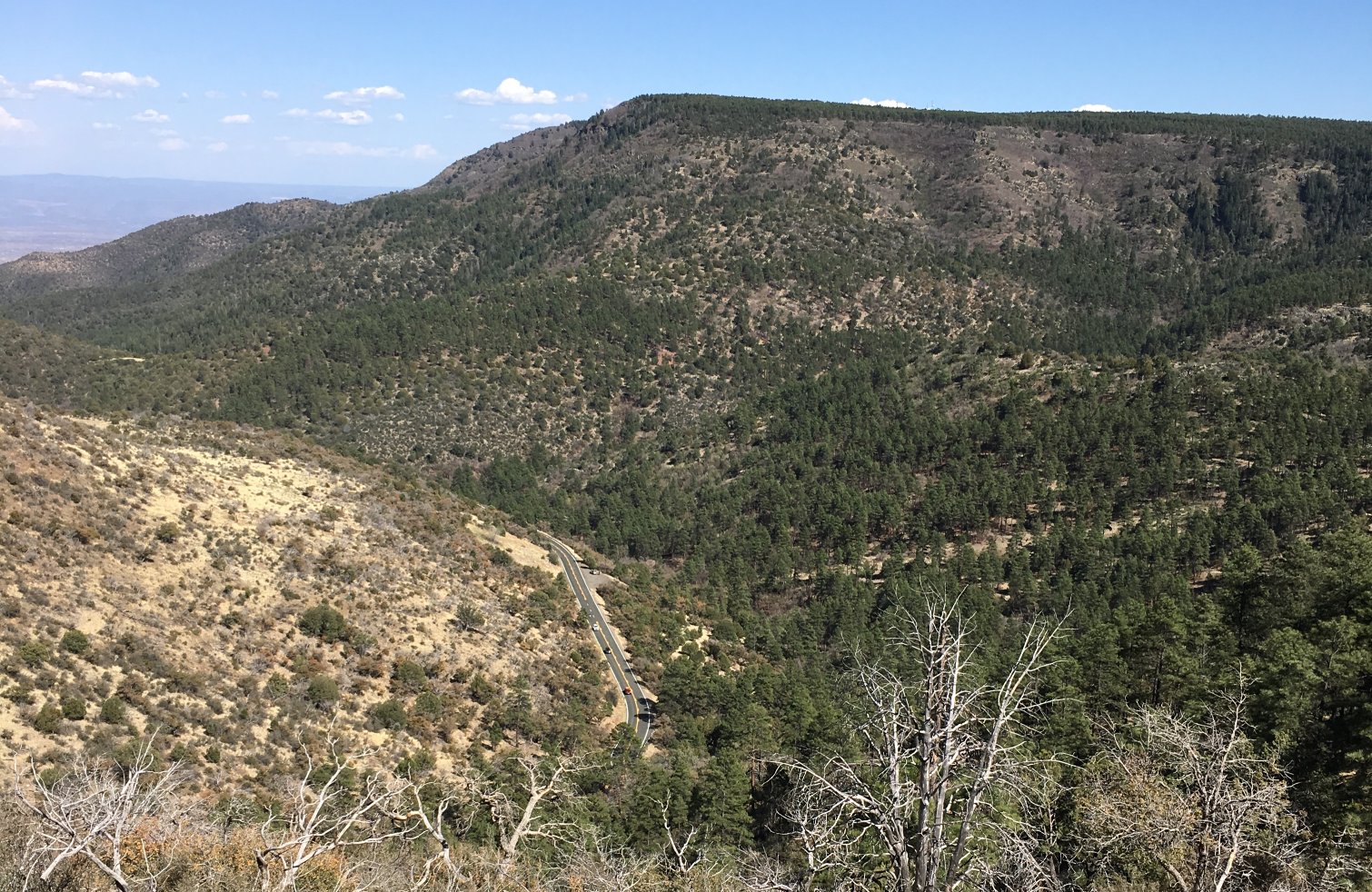
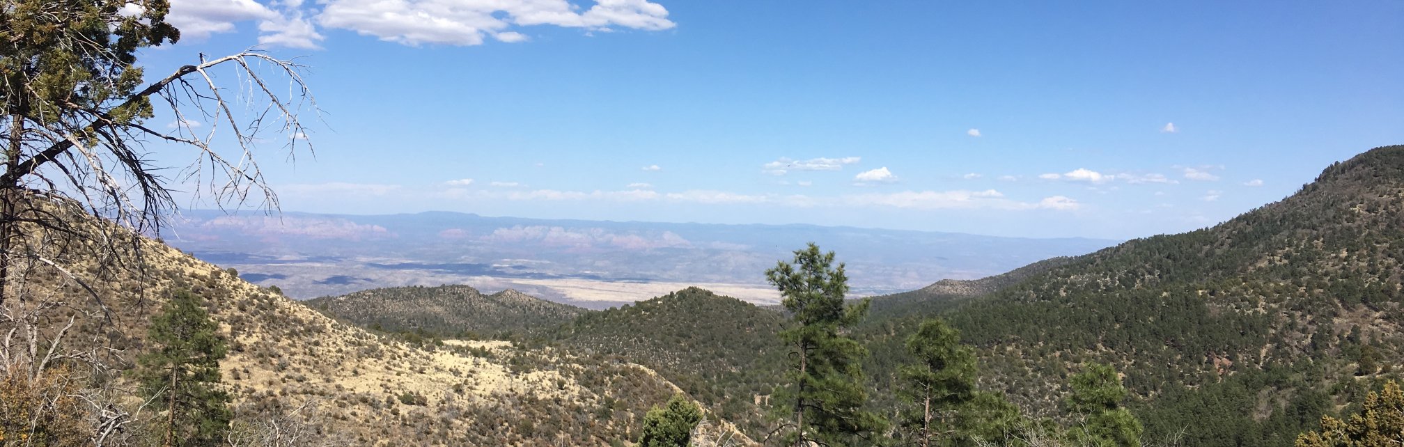
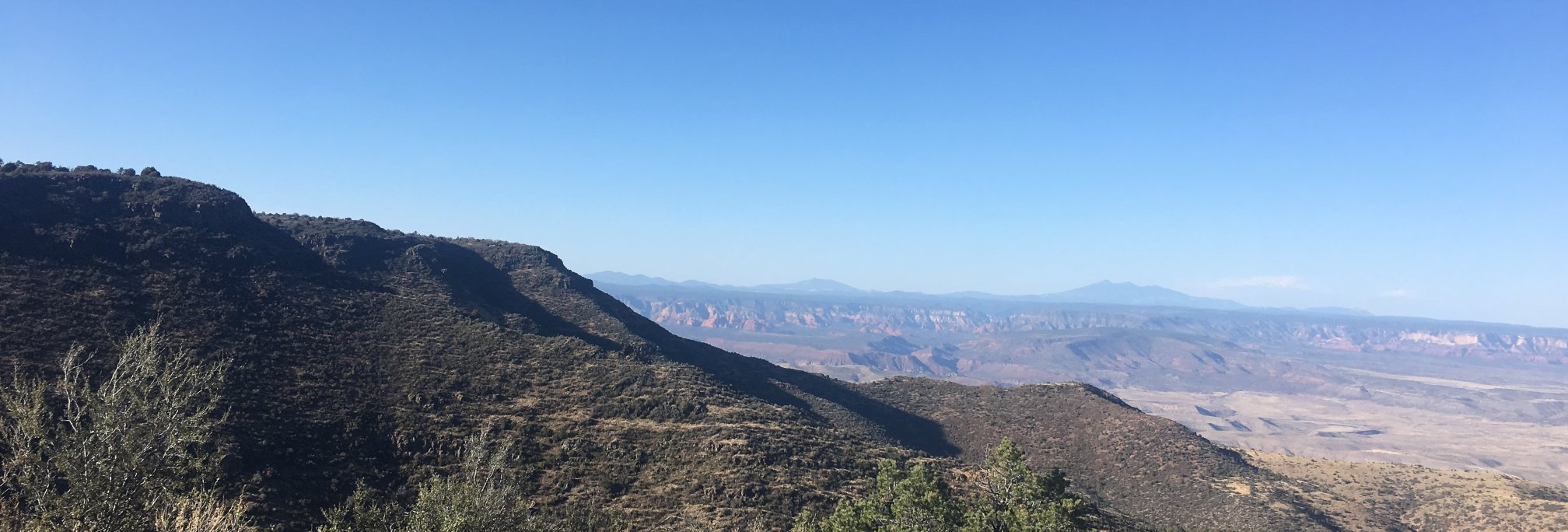
Views of Mingus Mountain (shy of Woodchute by only one contour line), SR-89A headed down to Jerome, and the orange cliffs of Sedona in the distance.
The trail is more or less a ridgewalk for the first mile or two, with an opportunity to get to peak 7396 via a short trail diverging to the east.
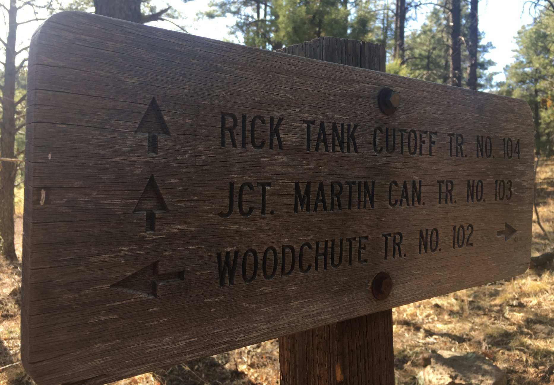
After passing the Woodchute Wilderness sign (sun on the wrong side, couldn’t get a good picture), a little ways further there’s this sign. Continue following the TR-102 route up to the right and east of the fenceline. The steepest pitch is about there, from the 7400 to the 7600 contour.
Once above the 7600 contour, it’s time to leave the trail to find the summit. McEntee went up the “ridgeline”, while McClellan took a slightly more flat route. I ended up in between those two.
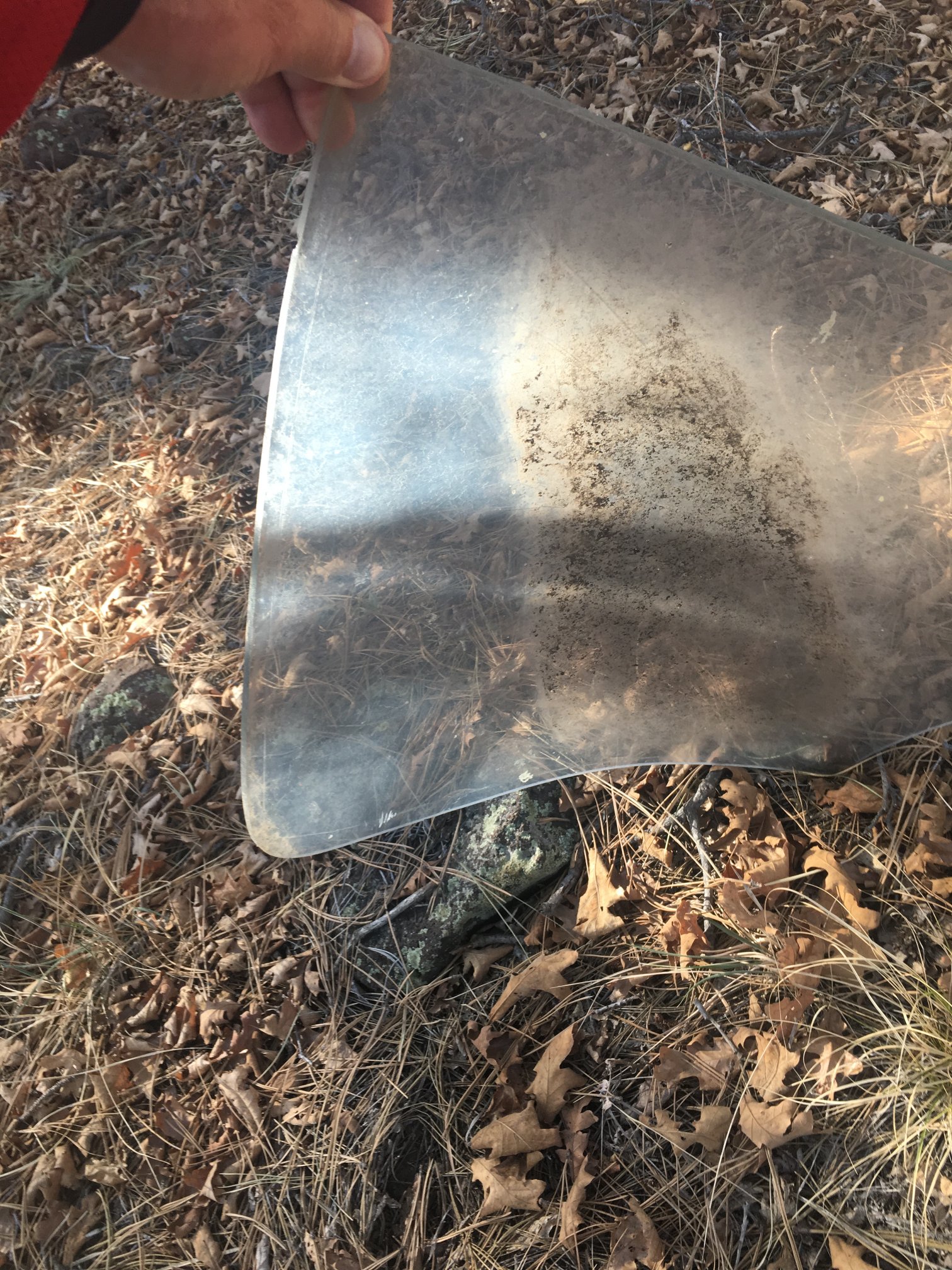
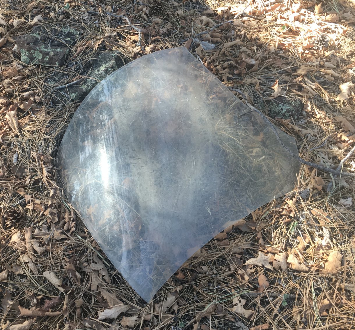
An interesting thing I found – what looks like a small aircraft plexiglass windshield. Maybe 3/16″ thick, smooth on all edges (no breaks or cracks). No aircraft, however.
Finally, I find the rock cairn and peak register.
Meandering east, downslope, I regain the TR-102 trail and begin the return to the truck.
Along the way I grab a shot of the volcanic peaks from Bill Williams on the west to Elden on the east.
After signing out at the trail register, I head down to Chino Valley to Insurgent Brewing to try their beers!
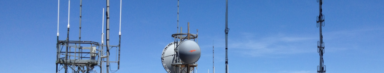
While cellular coverage can be hit-and-miss on the trail, the repeaters on Mingus Mountain are full-scale whether on 2 m or 440. As well, Elden, Bill Williams, and Mt Union all provide fine coverage.