http://www.peakbagger.com/climber/ascent.aspx?aid=966107
7151′ elevation – clean prominence: 3628′ – isolation: 33.8 mi
GPS log available at peakbagger link above.
A beautiful, isolated peak in the Cerbat range, which trends NW/SE with Kingman at the SE end. For many, the drive up US 93 appears to be mostly ochre and rust desert, with little pockets of hardscrabble humanity along the way. One would never think that there’s pines and cool temperatures so near, and as I found out, too far.
Left Scottsdale around 0500, already feeling like I didn’t get a great night’s sleep. The drive out to Kingman (where I refueled the truck) was uneventful and quiet. Passing along the Big Sandy river valley I was eyeing the Aquarius mountains making up the eastern boundary and imagining that one of these days I’d do the hidden Mohon peak, another one on my list.
Turned off US 93 at MP42 onto Pierce Ferry Rd, then another few miles to 5th St, then east on the dirt for about 5-1/2 miles. Road is in fairly good shape, only a few rough spots along the way. Stopped briefly at the trailhead/register, signed in, then continued the drive up the final few tenths of a mile of pretty bad road. Parked at the ultimate trailhead, immediately in front of the wilderness gate. It’s about 1015.
On the other side of the fence, the jeep trail continues for some distance, and makes for a easy approach up the pediment to the mountains.
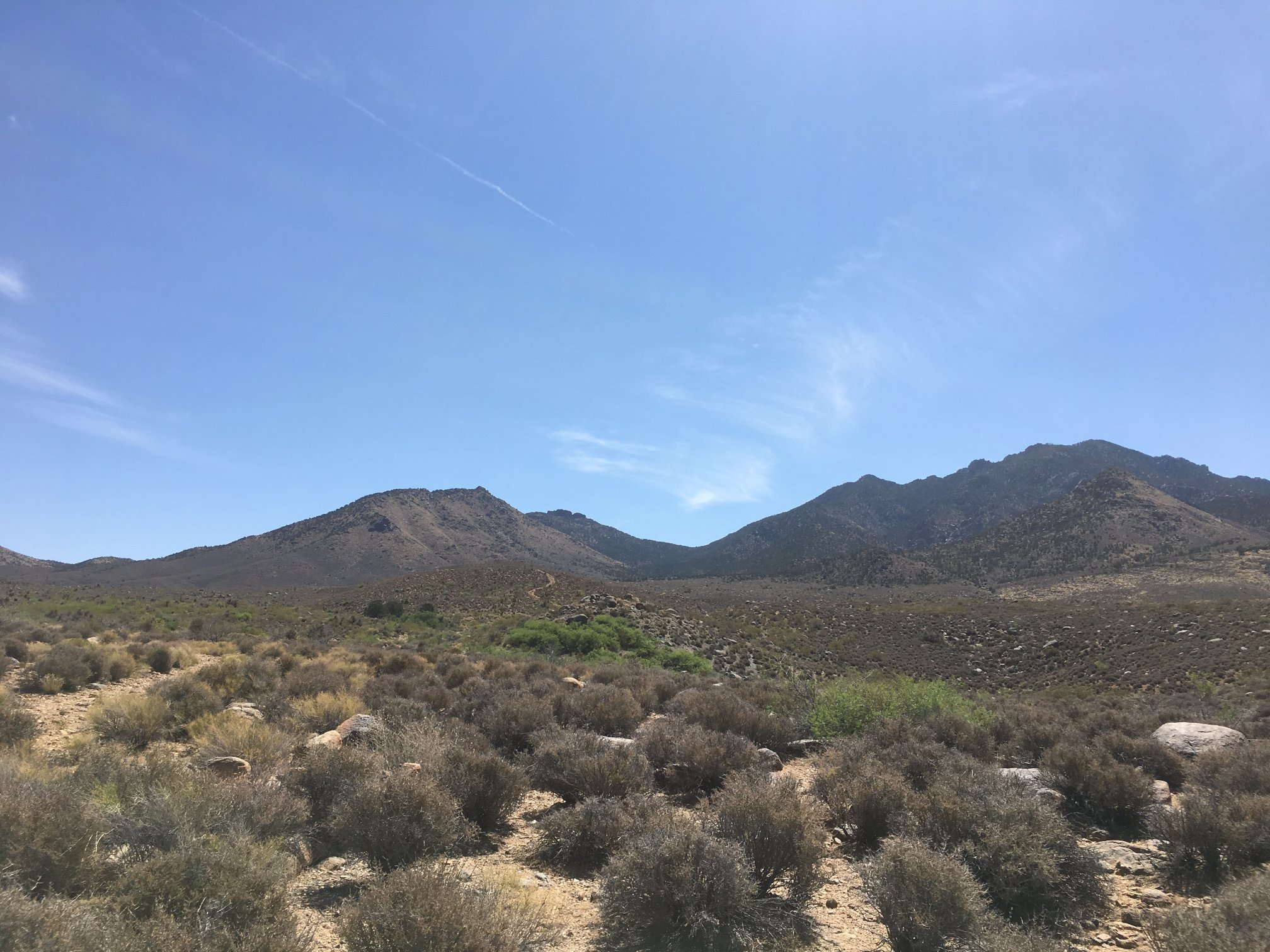
At the entrance to the wilderness, with old jeep trail on left and Mt Tipton on the right.
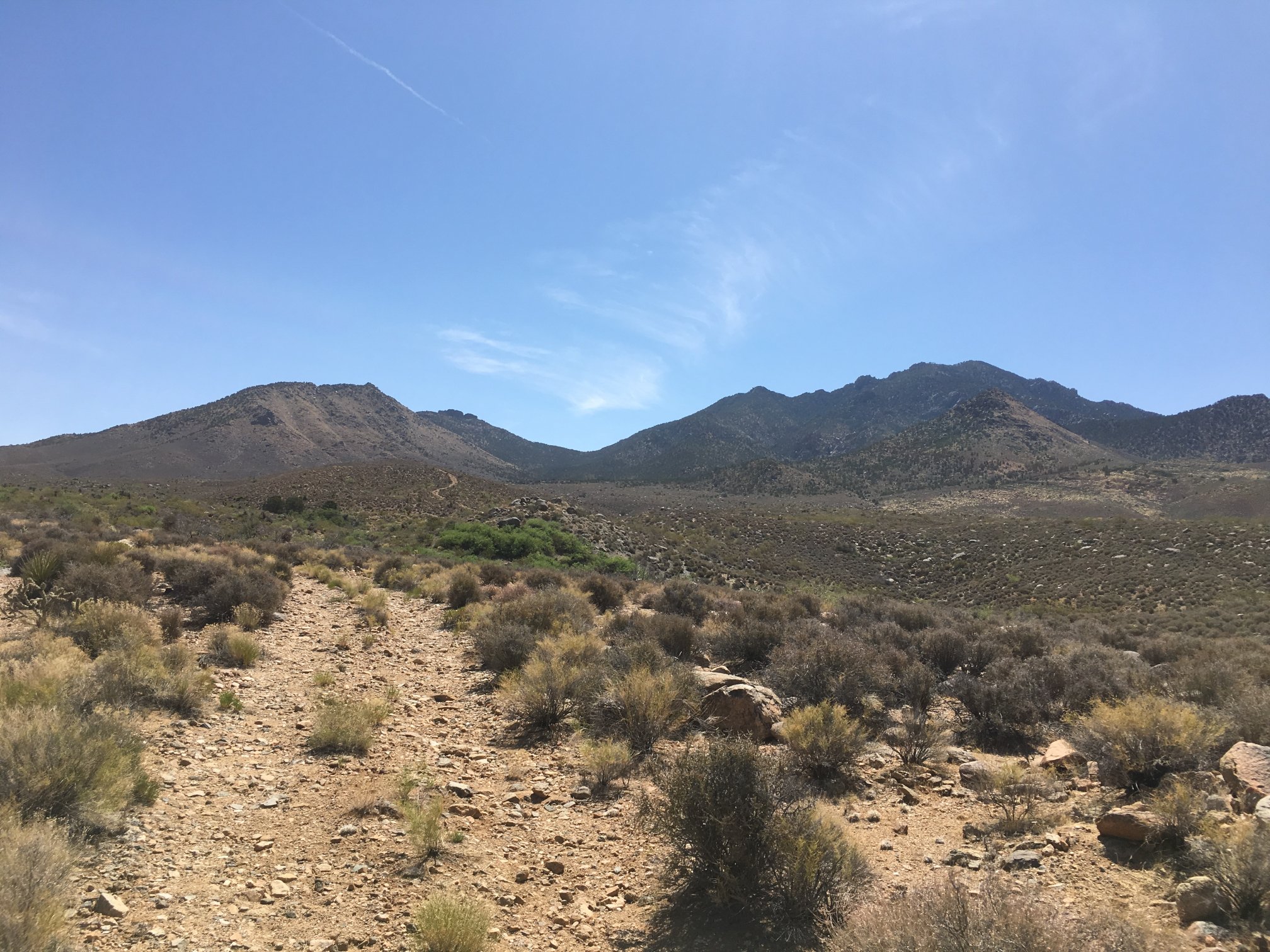
The ex-jeep trail within the wilderness, smooth sailing for the first 0.7 miles or so.
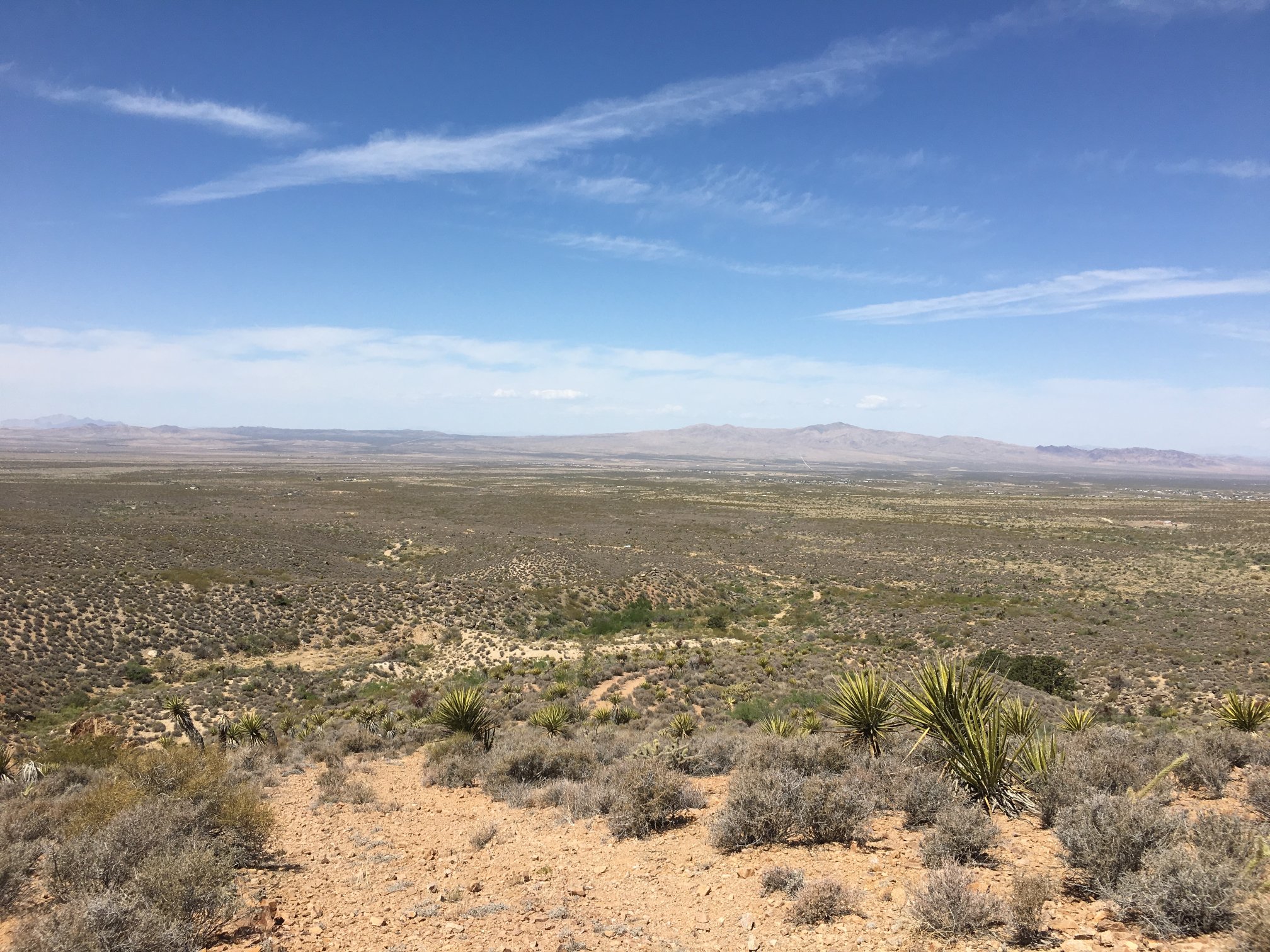
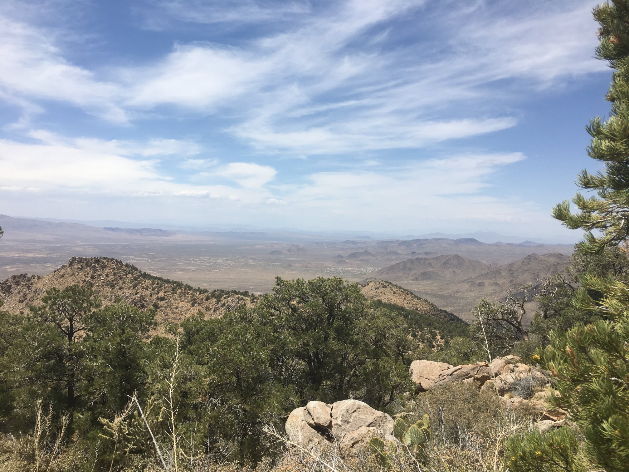
From a high point, looking back down the road with my white truck only a dot parked at the trailhead.
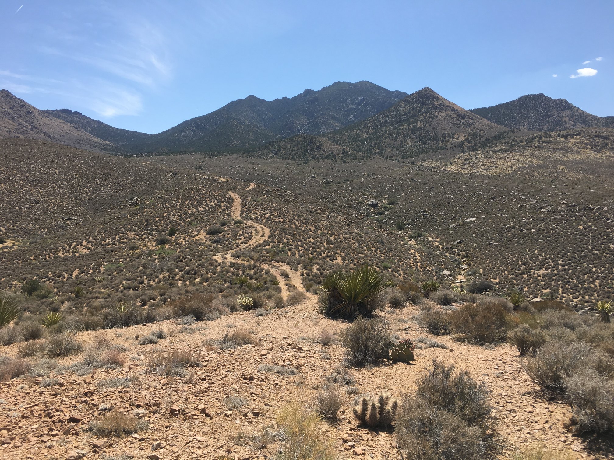
From same high point, looking along ex-jeep trail continuing east and up. The wash which the route will take is to the right of the road, seen dotted with some green.
At a point the road nears a wash that drains the northwestern slopes of Mt Tipton. There’s no trail, but the wash bed is mostly pretty tolerable with a minimum of difficult shrubberies.
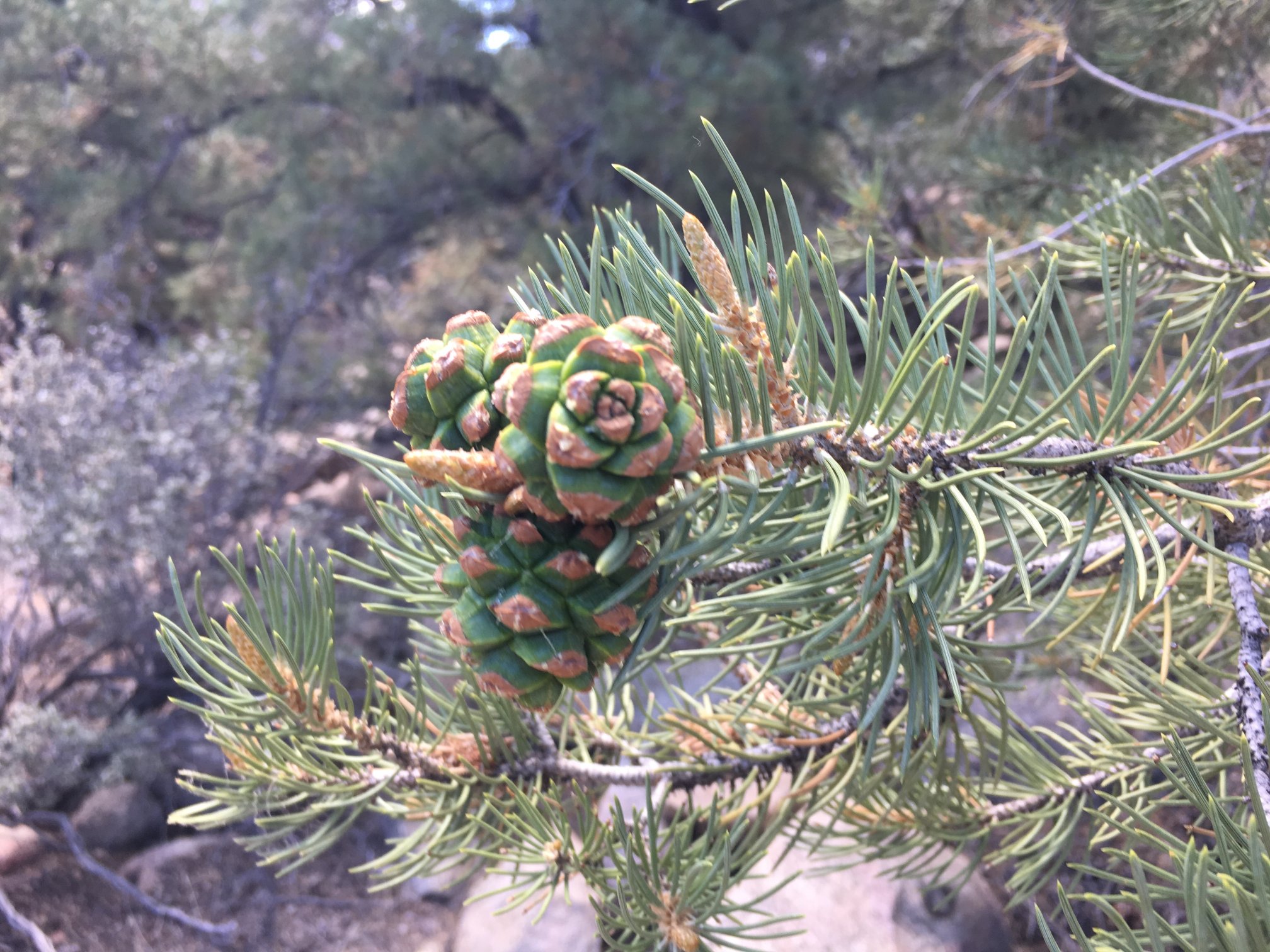
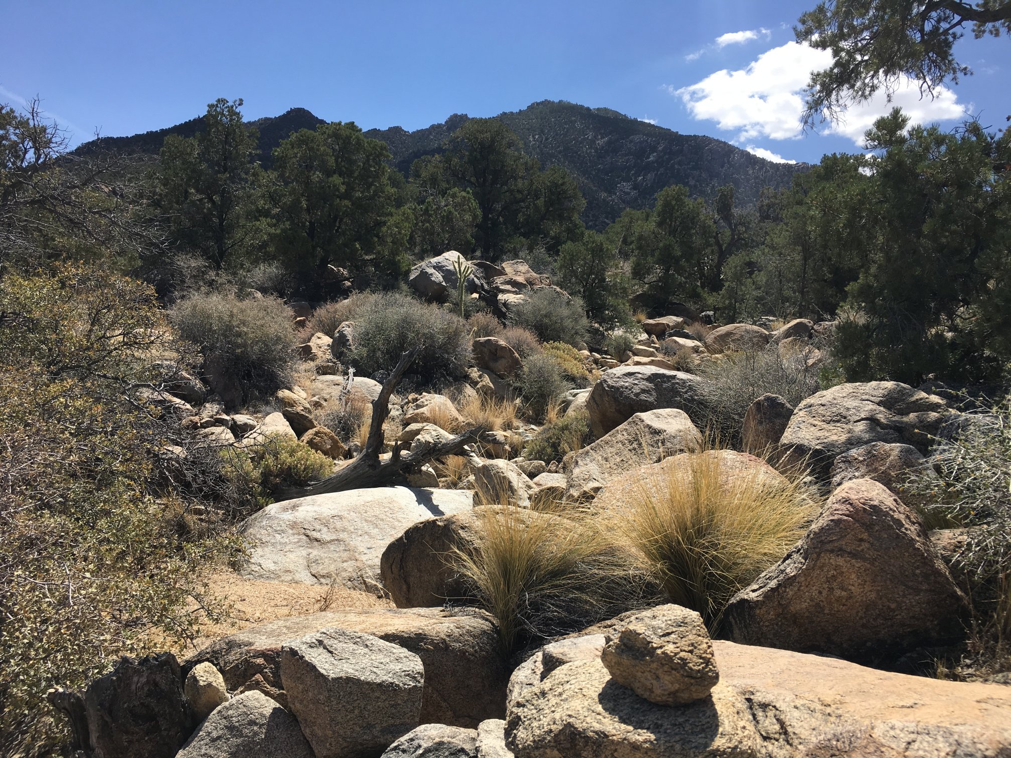
Around 4000′ conifers start to dot the shoulders of the wash.
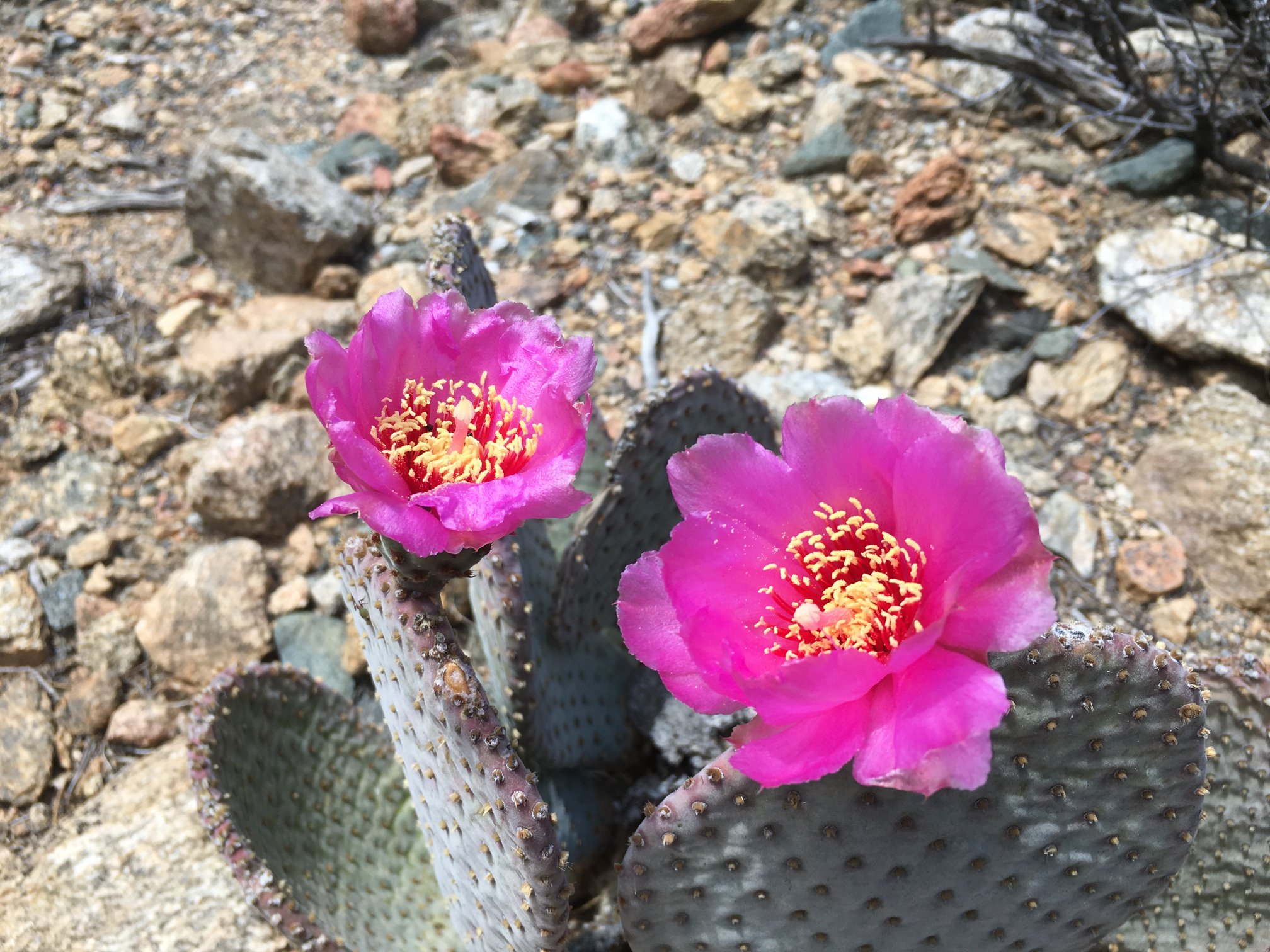
Conifers all around, with cactus in bloom along the wash bottom.
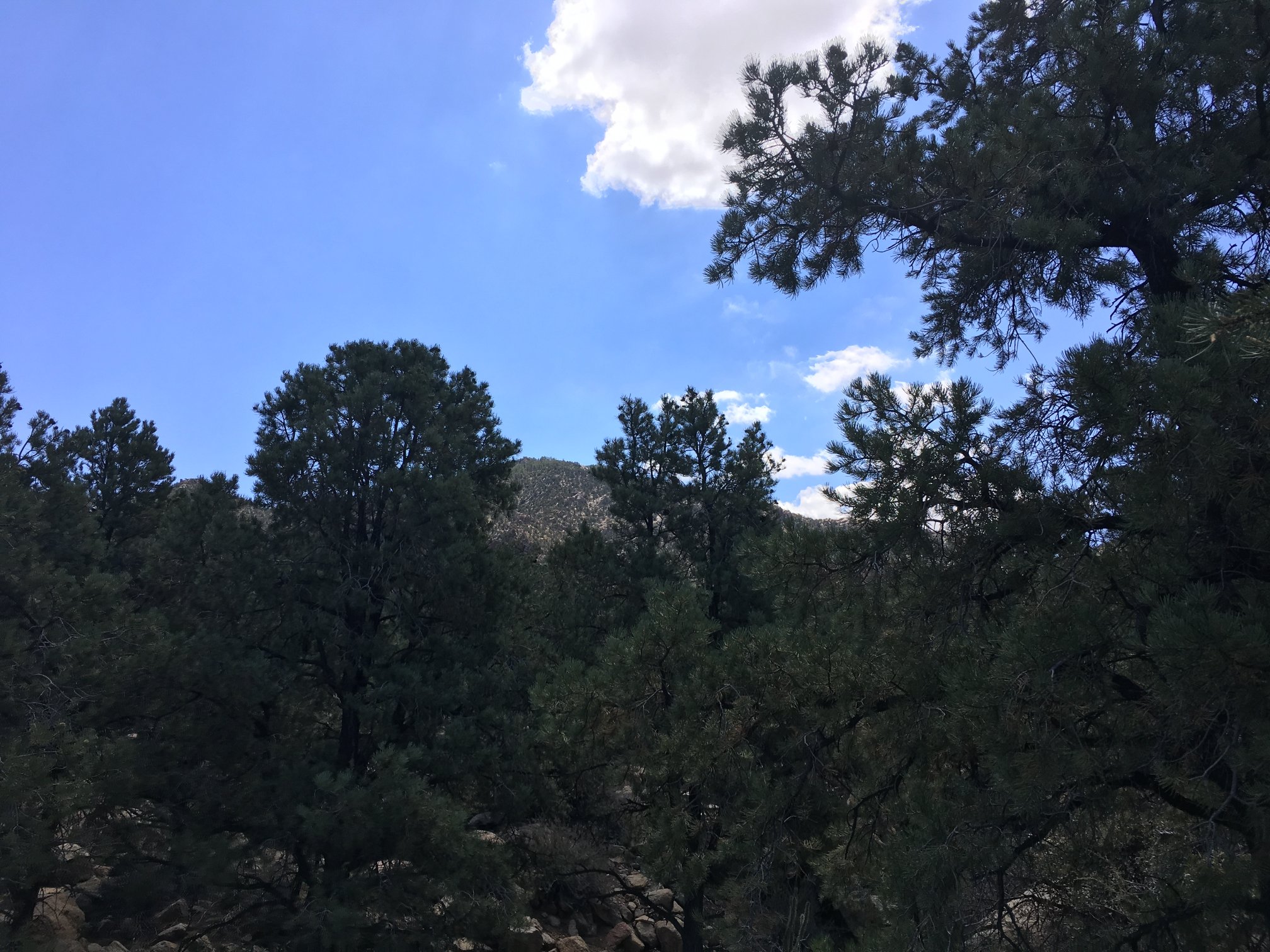
A few beginnings of cumulus cloud occasionally cool the air. Legs are getting pretty wobbly. Tipton is visible through the trees. However, I’m not feeling confident that I can make the peak.
At about ~5300′, the wash that I’ve been following since the road more or less ends at the saddle between Tipton and the lower ridge visible in the middle ground. Actually, I’m not sure of that, it may be that the continuation of that wash heads east up the steeper slope ahead. If that’s the case, there’s some potential of incipient stream capture here.

Well, now I’ve done it. While staggering along a small rock face, I slip and fall butt-first into a ground-hugging cactus. I think some sort of hedgehog, I get a bunch of spines stuck in me just below the rear-right waist line. Not so much painful as it is annoying. Like getting a shot – a bunch of them.
Slowly I get out all the needles, and clear the clothes of any stragglers. I call it a day, as I’m only 2/3 of the way to the peak horizontally and still have 1500 vertical feet to go. And from what I’ve read by Raether, Walker, and others, the going got tougher from here.
The way back I stay in the wash all the way to an apparently abandoned spring site (no visible water, but there is some piping and plastic tube). Then some cross-country over pretty smooth terrain, punctuated with occasional chollas. Am so happy that I parked at the upper trailhead. A few tenths of a mile eliminated.
I will return, but next time I’ll come up the night before, acclimate, and get an earlier start.