http://www.peakbagger.com/climber/ascent.aspx?aid=952118
7659′ elevation – clean prominence: 3297′ – isolation: 25.6 mi
GPS log available at peakbagger link above.
Drive time to the trailhead depends only a little on the route taken. Going there, I left SR87 at about 0658 and arrived the trailhead parking lot around 0821, for a distance of around 19 miles and a elapsed time of about 83 minutes. Slow road in parts, but completely 2WD street car quality. Had to compete with mountain bikers on the way up.
On the return to civilization, I left the parking lot at 1251, went down the 10 miles of the dirt road to SR188, then up to regain SR87 and then to the SR87 – Four Peak road / Cline Cabin road. That was a total of 62 miles (11 dirt) and 51 miles at highway speed. The elapsed time for that return path was about 1245 to 1412, or 87 minutes. On this side, had to compete with buggy drivers coming up. Actually longer in distance and time but subjectively, the east side dirt road was less stressful than the west. But enough to justify the extra distance? Meh.
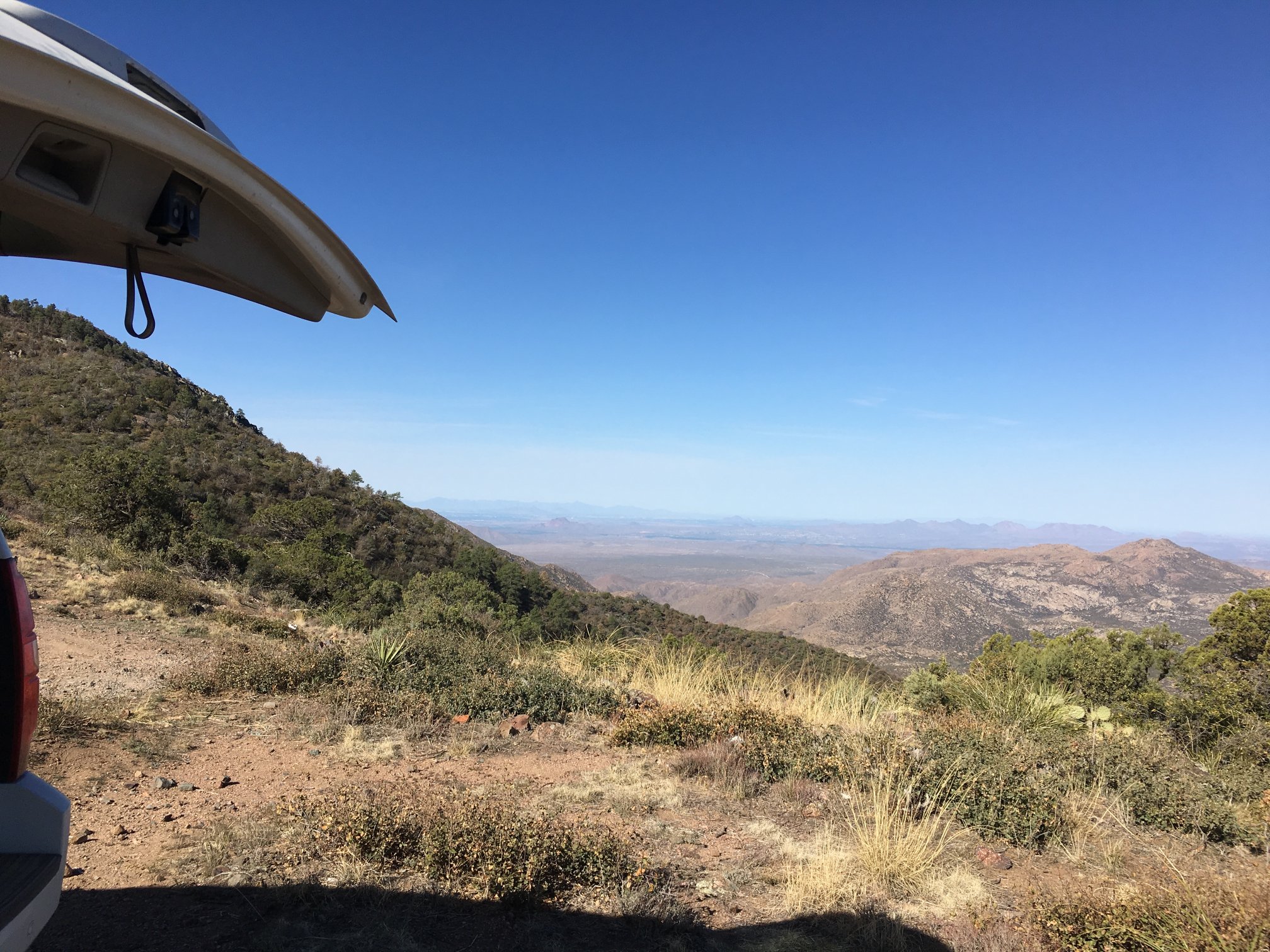
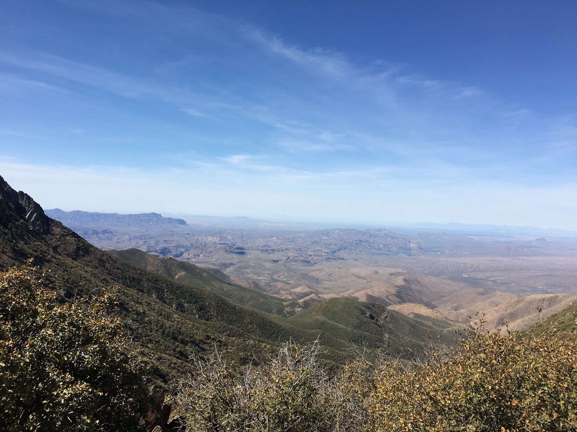
Arrived at upper parking area. Sierra Estrella high point is about center in the distance at around 62 miles.
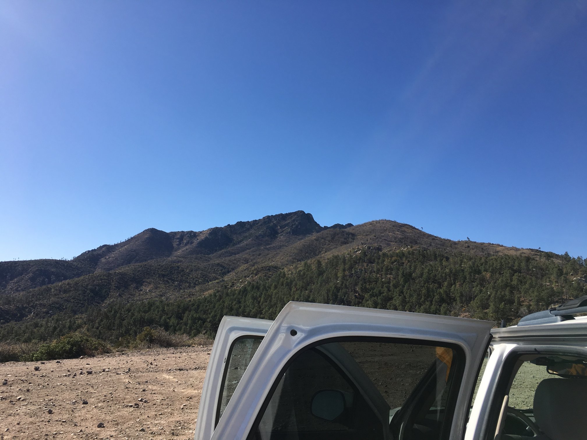
Looking up at Brown’s Peak from the parking area. This parking lot appears to be an overflow for the main lot immediately at the trailhead. However, I like this one a bit better as the view is much wider.
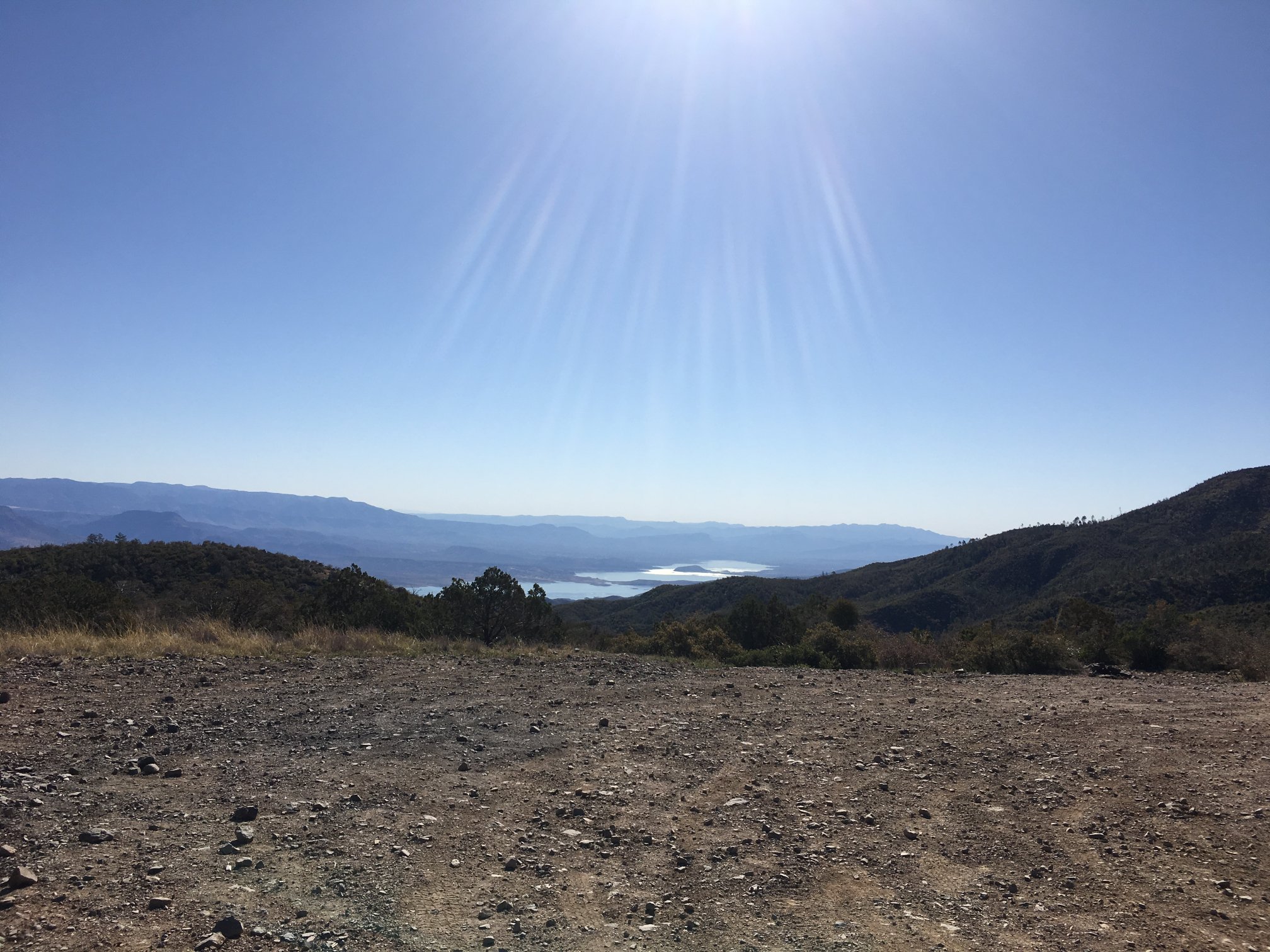
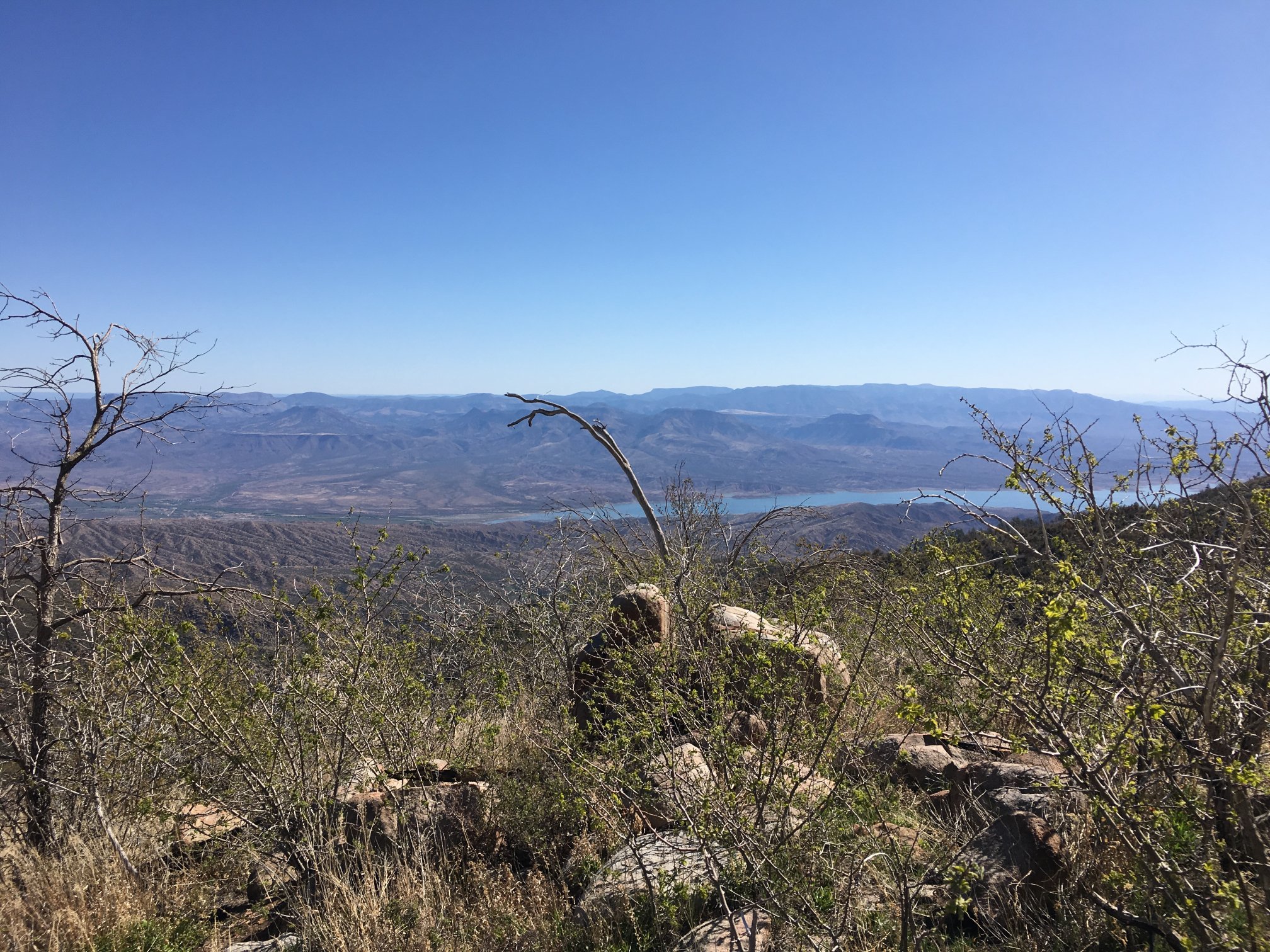
To the southeast with Roosevelt Lake below.
Up the trail a short bit, and able to look back to the truck parked in the upper lot.
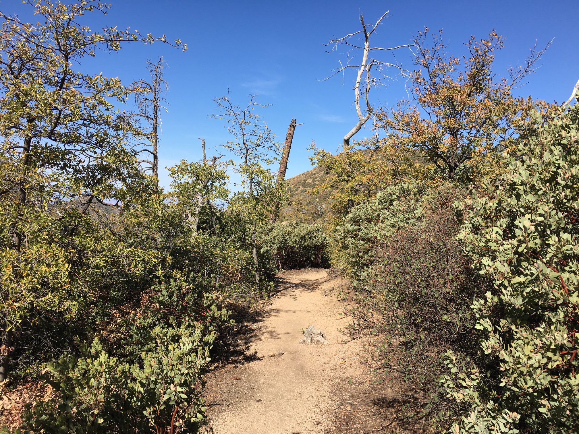
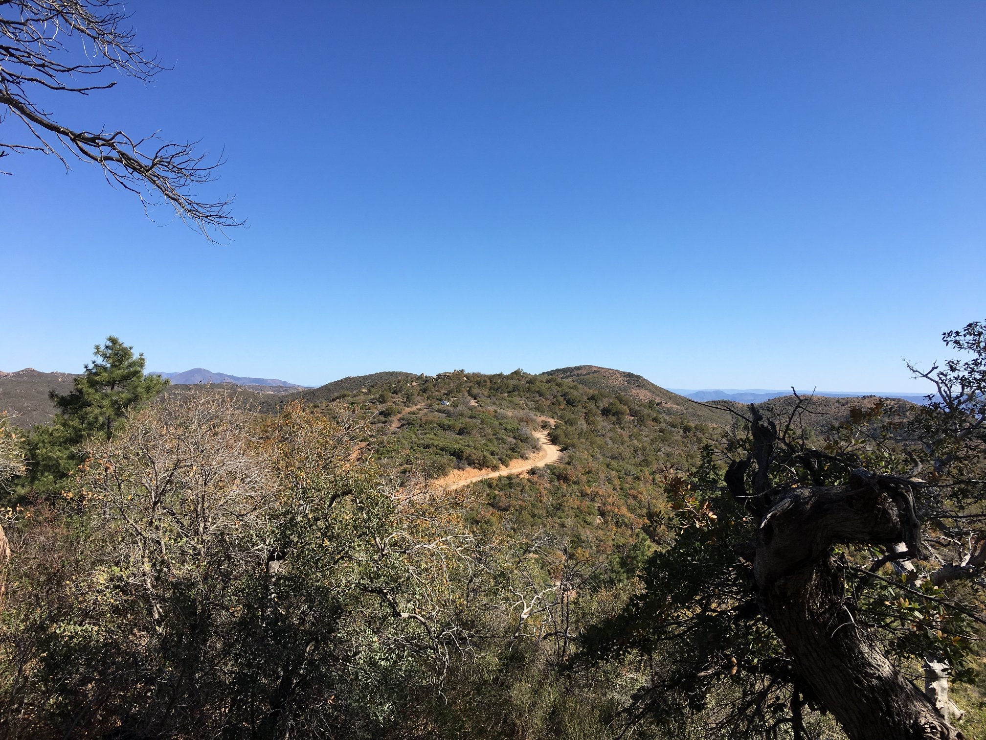
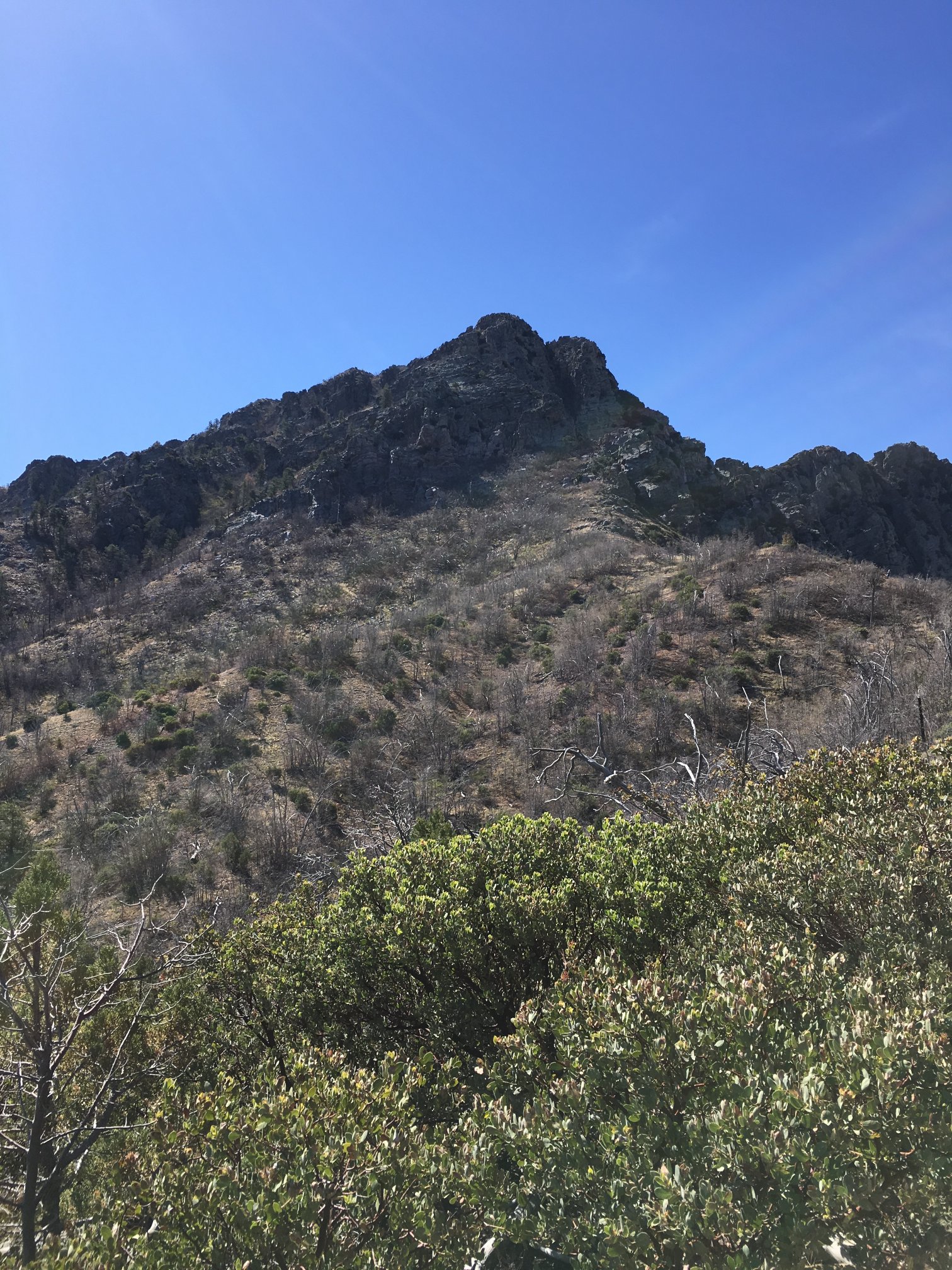
Trail is well defined until getting up to the rock.
Looking north toward Mt Ord (the radio communications site) and Mazatzal Peak, the next major bump to the left and the one I summited two weeks before.
More thorny shrubberies.
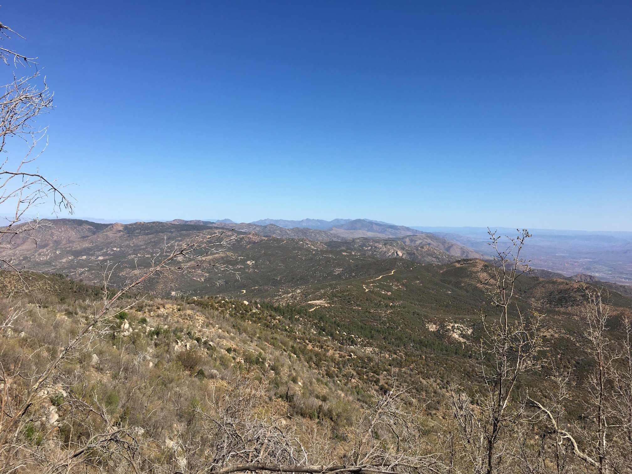
Up a little higher, looking down into the Tonto Basin.
The Superstitions and The Flatiron in the left middle ground.
Looking up toward Browns Peak.
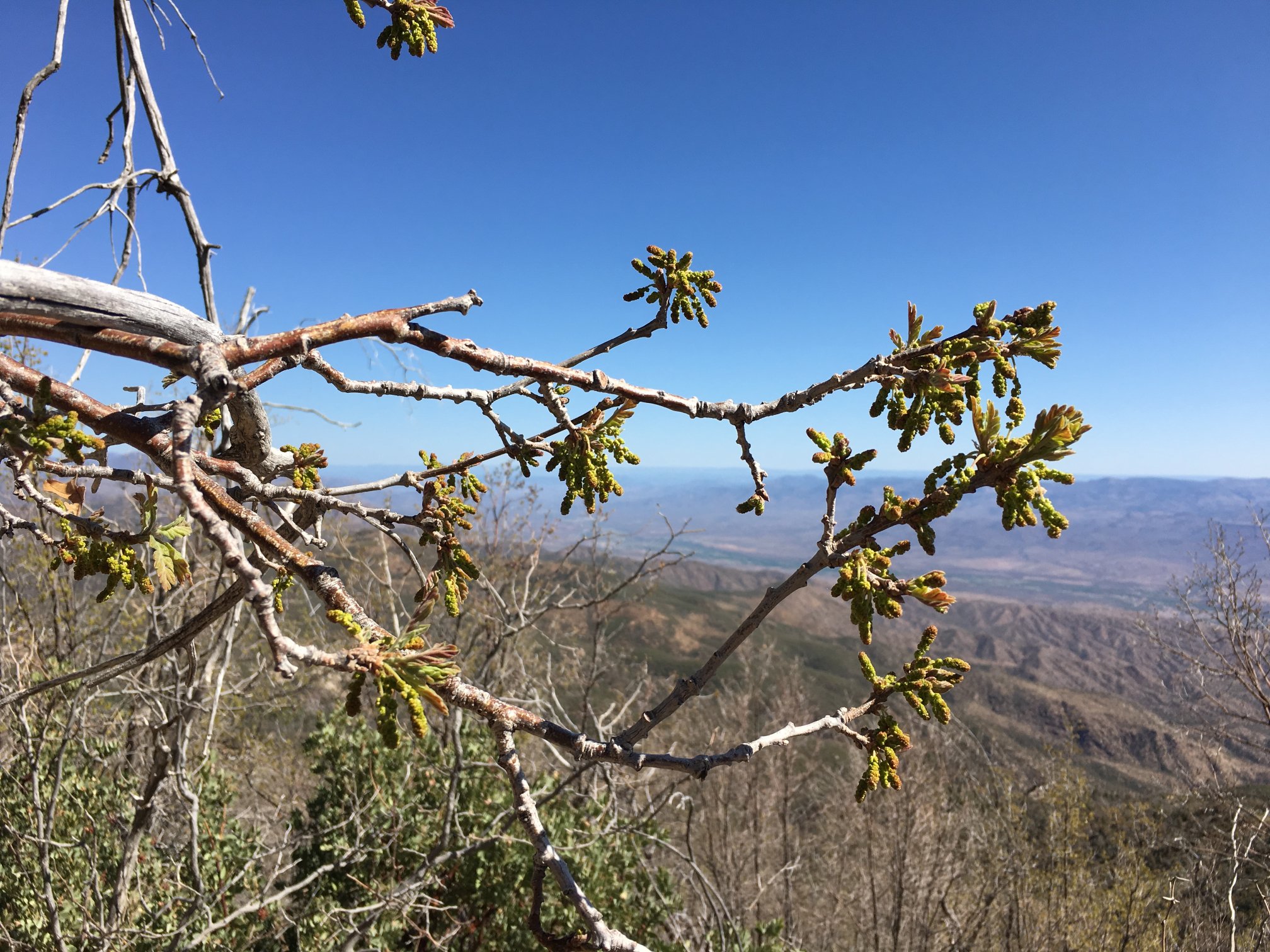
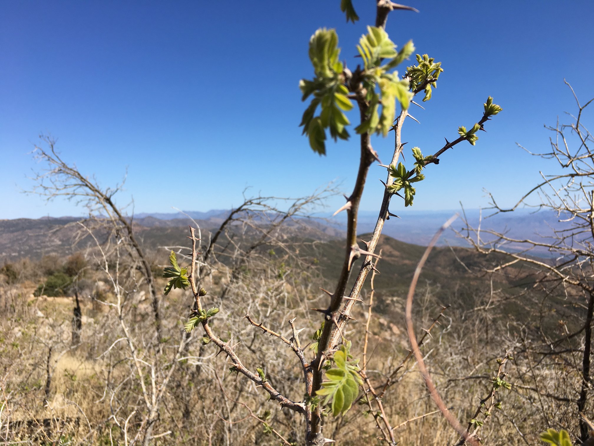
Spring has sprung – buds on the trees.
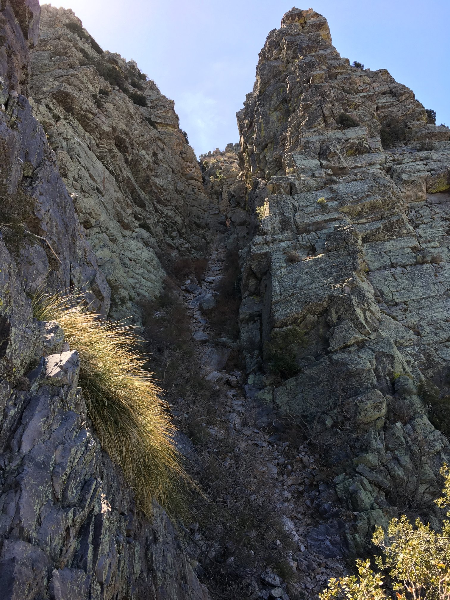
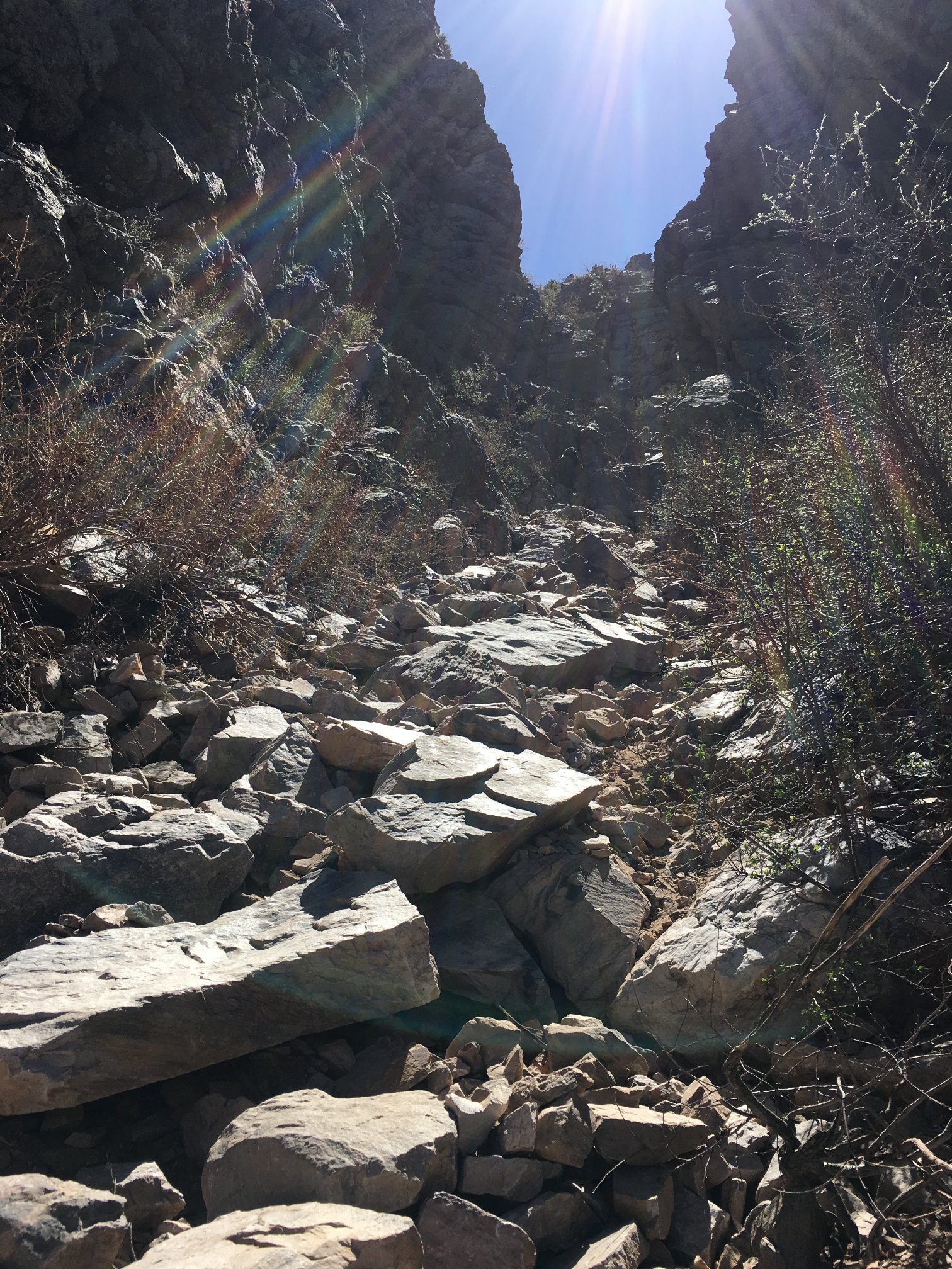
The bottom of the chute. This is quite steep. Fortunately, it’s not on a ridge line so there’s little or no wind, and the only way to fall is down %^)
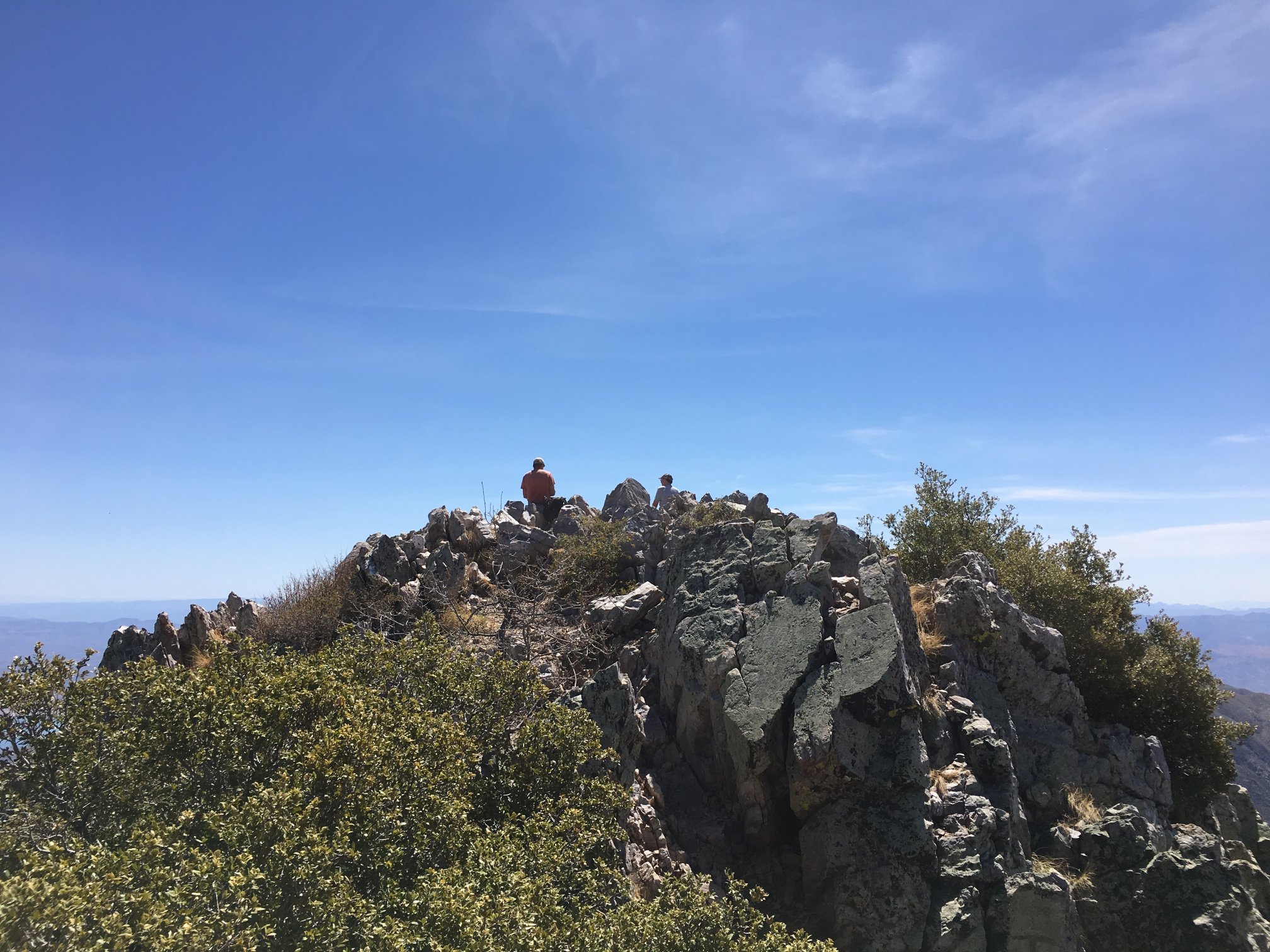
Looking at the crowd atop Browns from the rise atop the chute.
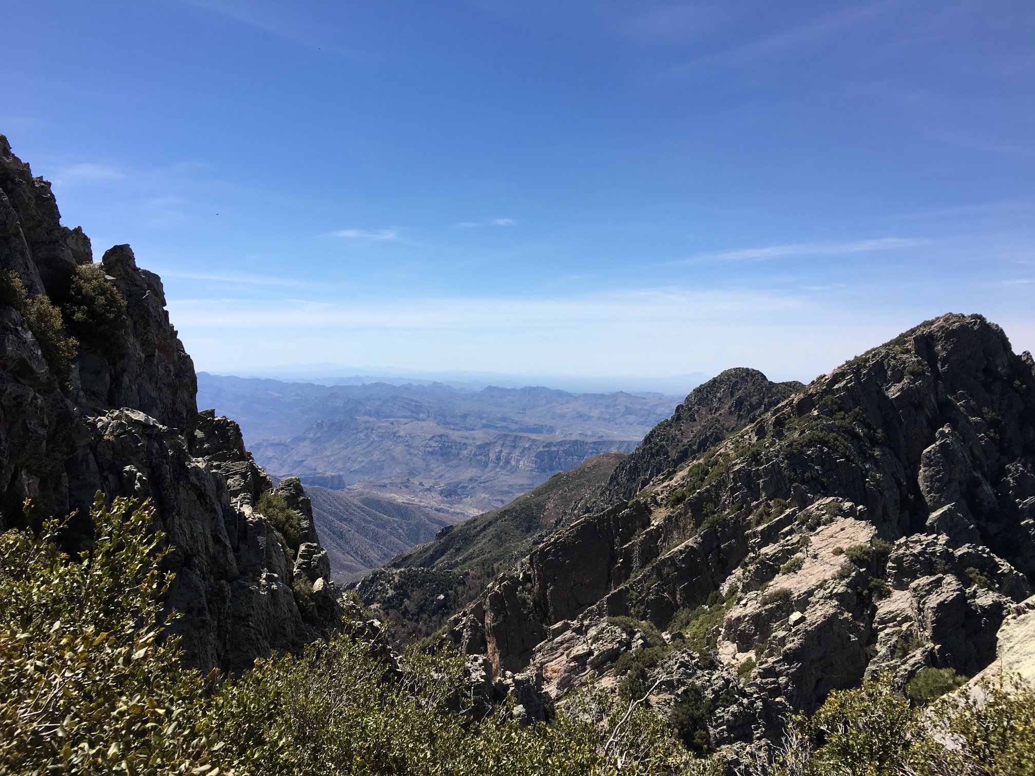
Toward the Salt River canyon with the Browns slope to the left and Brother/Sister/Amethyst to the right.
Atop Browns looking back toward the lower summit.
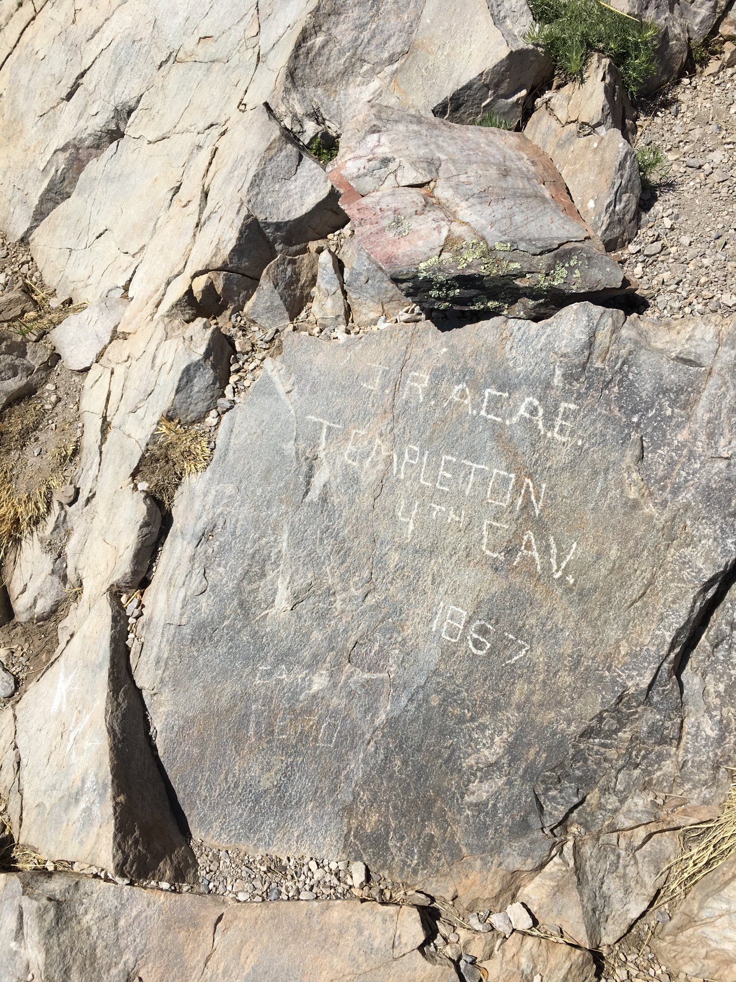
Didn’t find a benchmark, but this is interesting. Also, did find the peak register and signed in there.
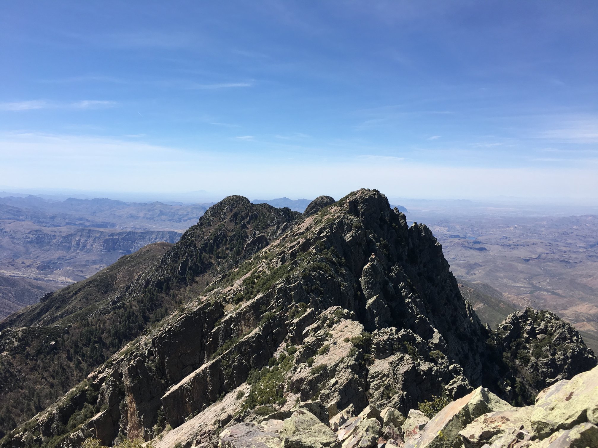
The other 3 of the Four Peaks, with The Flatiron hidden behind Brother peak.
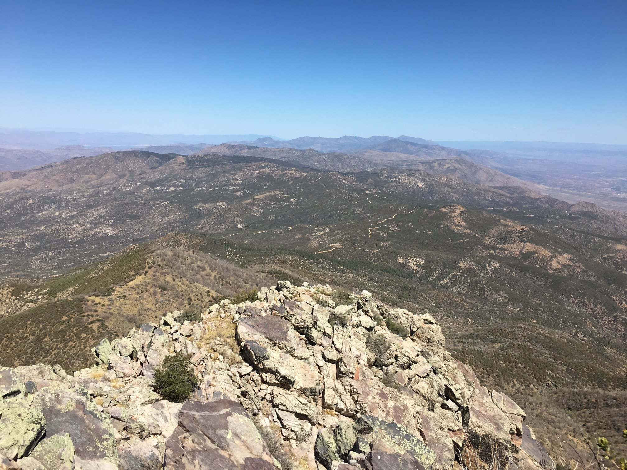
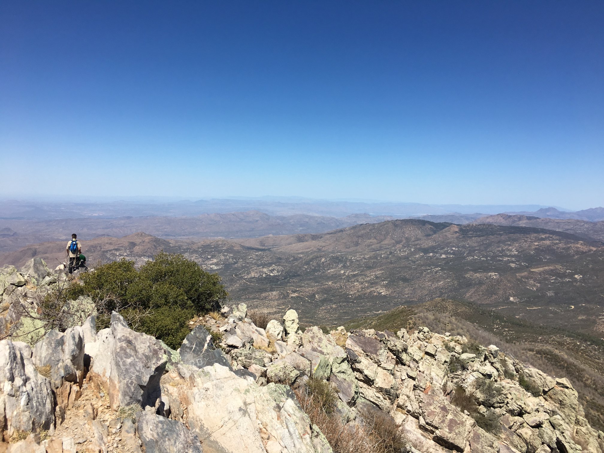
Looking at Mazatzal about center in the image, and realizing it’s 250′ higher.
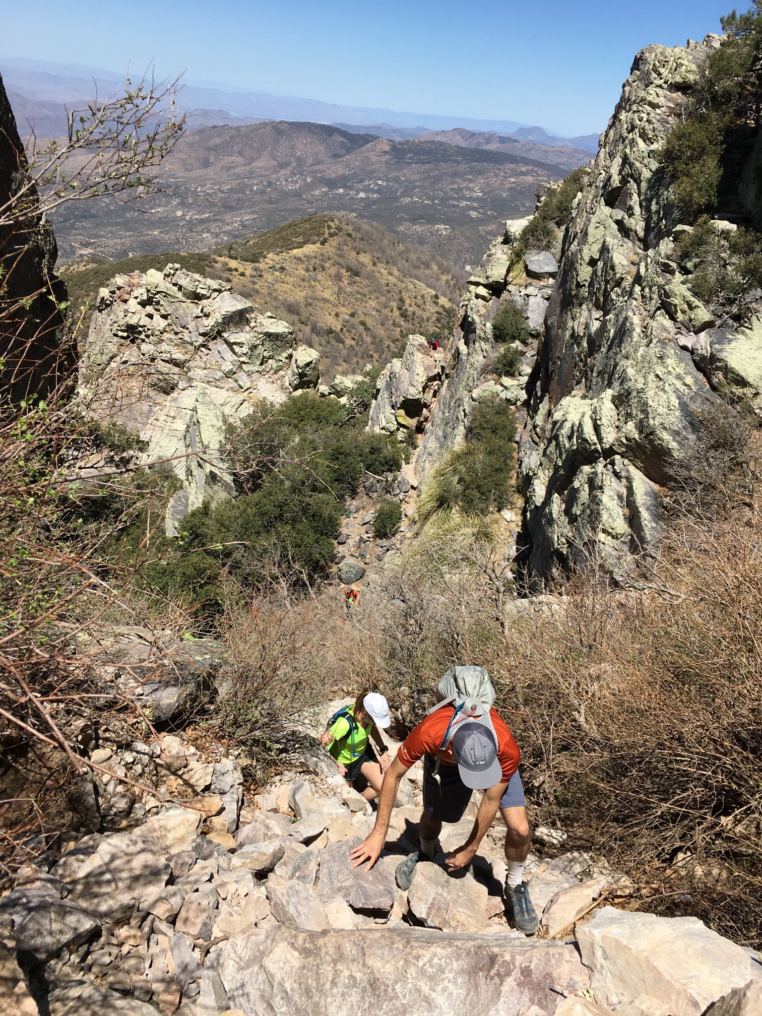
Headed down the chute, with folks coming up. There are the two in the foreground and one about 100′ below. It’s hard to perceive the extreme slope in this photo.
Looking back up the chute with some people either climbing up or down (hard to see in the glare).
While not a cakewalk, it was surprisingly straightforward. Definitely was sometimes at the edge of scary in the chute, mostly coming down. Some large rocks are only metastable. Several times while descending I realized that the drop below me was too great, so I had to retreat a bit and find a more doable way down.